Transport Functions
Multimodal
Hub Profile
Place type
Populated place
Region
Rhône-Alpes
Population
469
Time zone
Europe/Paris
Elevation
313 m
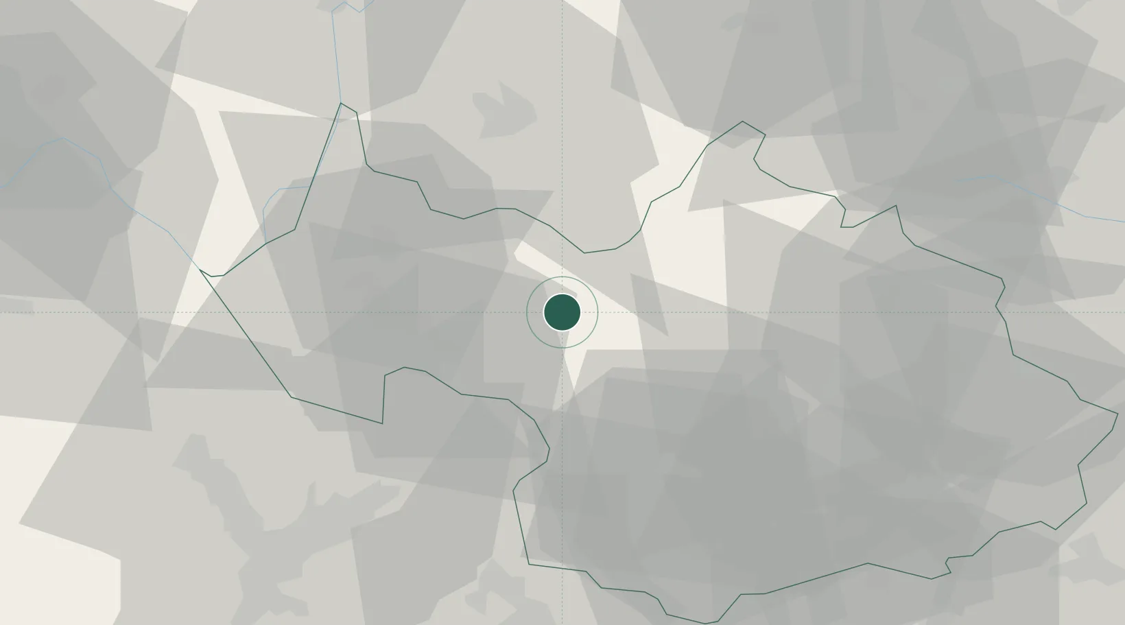
Location
Nearby Logistics Neighbours
Cities
- 1Tournon9 km
- 2Aiguebelle9 km
- 3Cruet13 km
- 4Arbin15 km
- 5Albertville16 km
Ports
- 1Nice226 km
- 2Monaco227 km
- 3Villefranche227 km
- 4Savona228 km
- 5Rada Di Vado229 km
Airports
Trade Zones
DatabookThe Record of Consolidated Knowledge
France beyond logistics?