UN/LOCODE hub · France
FRTGY
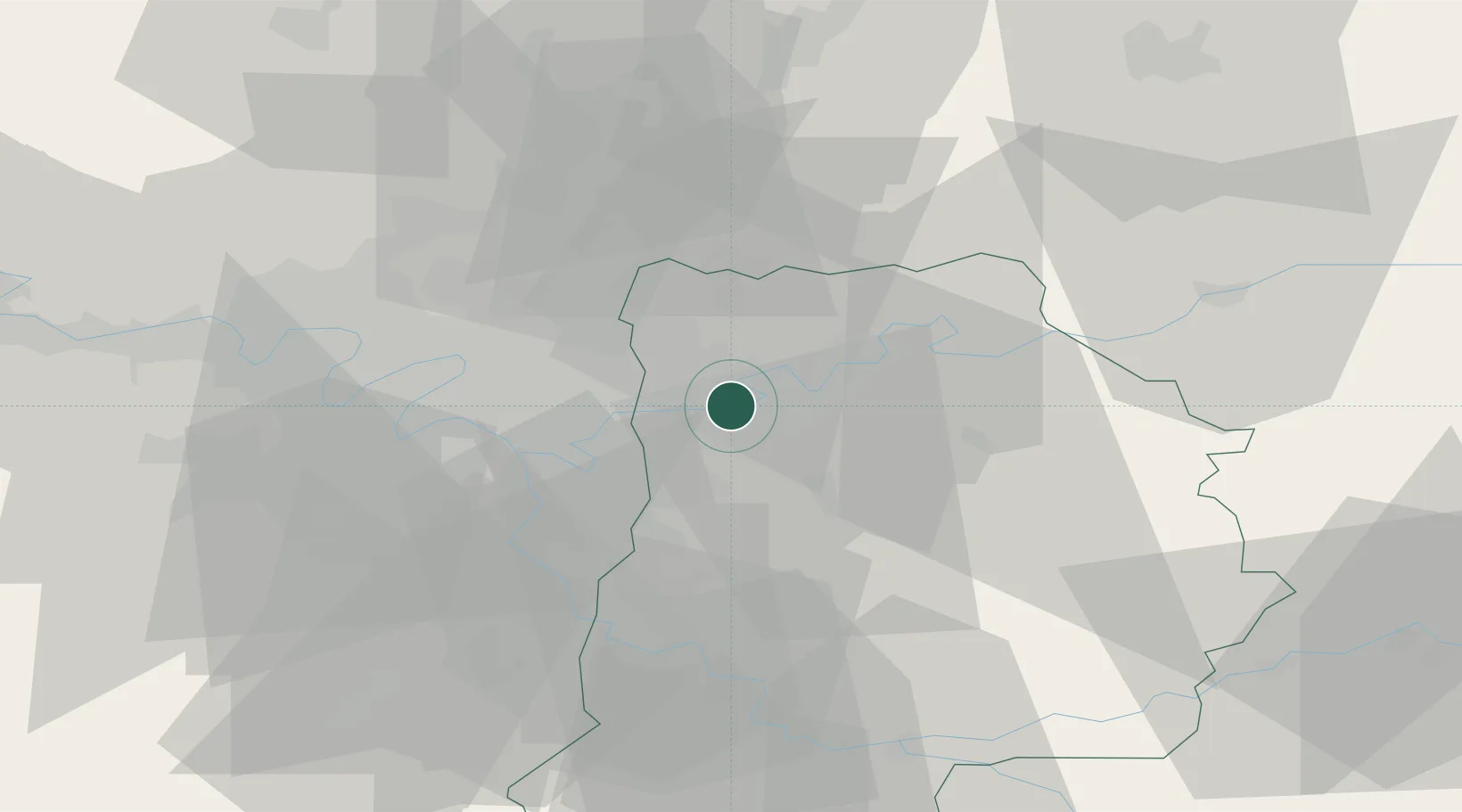
Thorigny-sur-Marne
48.8833°, 2.7167°
9,887
Population
1
Transport functions
Transport Functions
Multimodal
Hub Profile
Place type
Populated place
Region
Île-de-France
Population
9,887
Time zone
Europe/Paris
Elevation
72 m
Location
Nearby Logistics Neighbours
Cities
- 1Lagny-sur-Marne2 km
- 2Pomponne2 km
- 3Saint-Thibault-des-Vignes3 km
- 4Chessy4 km
- 5Vaires-sur-Marne5 km
Ports
- 1Port Of Rouen136 km
- 2Le Treport164 km
- 3Saint-Valery-Sur-Somme165 km
- 4Dieppe166 km
- 5Honfleur191 km
Airports
Trade Zones
DatabookThe Record of Consolidated Knowledge
France beyond logistics?