Transport Functions
Rail
Road
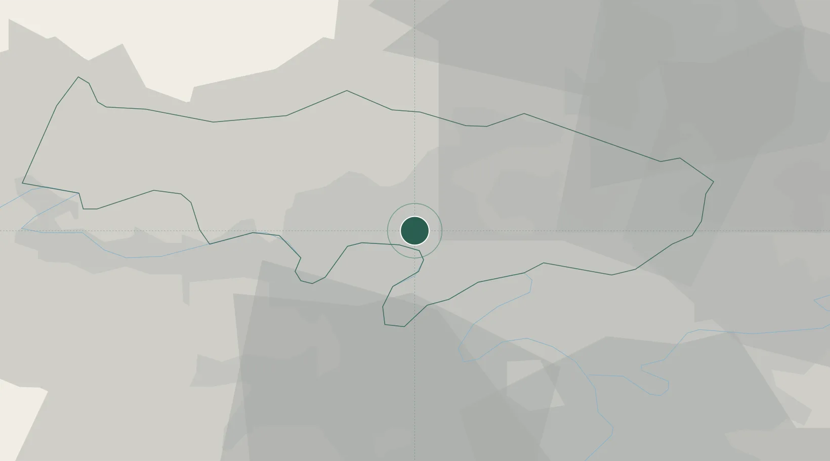
Hub Profile
Place type
Populated place
Region
Île-de-France
Population
7,295
Time zone
Europe/Paris
Elevation
44 m
Location
Nearby Logistics Neighbours
Cities
- 1Bessancourt3 km
- 2Montigny-lès-Cormeilles4 km
- 3Auvers-sur-Oise6 km
- 4Méry-sur-Oise6 km
- 5Franconville6 km
Ports
- 1Port Of Rouen93 km
- 2Dieppe129 km
- 3Le Treport130 km
- 4Saint-Valery-Sur-Somme136 km
- 5Honfleur148 km
Airports
Trade Zones
- 1ZFU Argenteuil9 km
- 2ZFU Sartrouville9 km
- 3ZFU Epinay-sur-Seine12 km
- 4ZFU Villiers-le-Bel16 km
- 5ZFU Stains17 km
DatabookThe Record of Consolidated Knowledge
France beyond logistics?