Transport Functions
Port
Rail
Road
Hub Profile
Place type
Populated place
Region
Île-de-France
Population
9,490
Time zone
Europe/Paris
Elevation
67 m
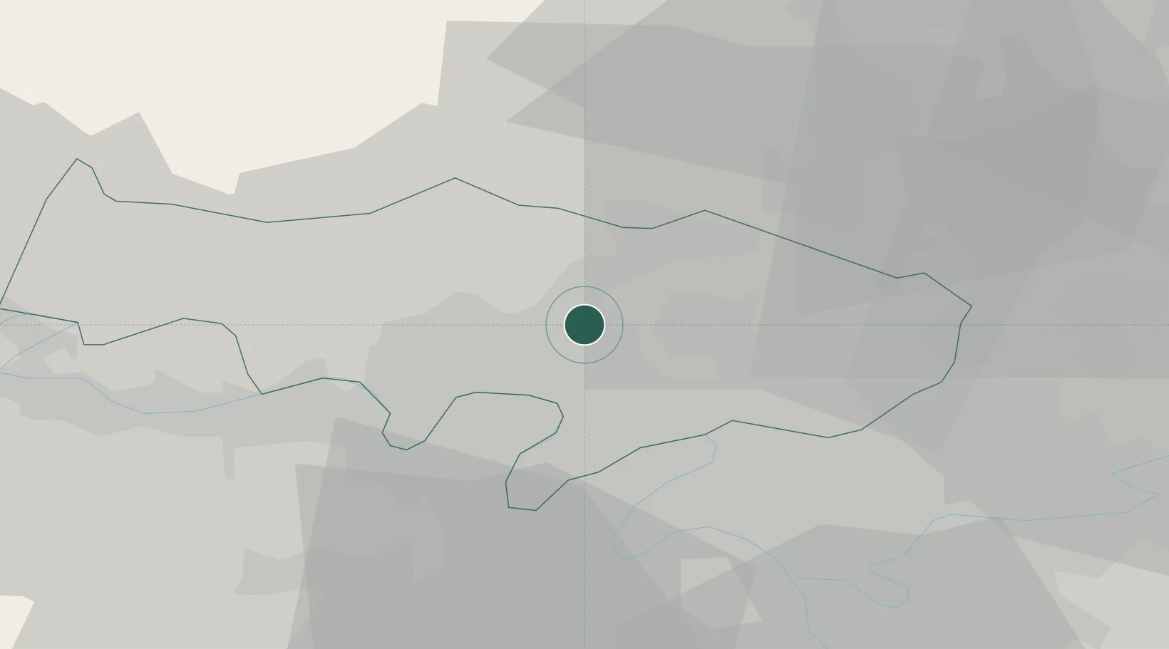
Location
Nearby Logistics Neighbours
Cities
- 1Auvers-sur-Oise1 km
- 2Butry-sur-Oise2 km
- 3Bessancourt4 km
- 4Pierrelaye6 km
- 5Nesles-la-Vallée8 km
Ports
- 1Port Of Rouen93 km
- 2Dieppe126 km
- 3Le Treport126 km
- 4Saint-Valery-Sur-Somme131 km
- 5Honfleur149 km
Airports
Trade Zones
- 1ZFU Argenteuil13 km
- 2ZFU Epinay-sur-Seine14 km
- 3ZFU Sartrouville15 km
- 4ZFU Villiers-le-Bel15 km
- 5ZFU Garges-lès-Gonesse et Sarcelles18 km
DatabookThe Record of Consolidated Knowledge
France beyond logistics?