Transport Functions
Multimodal
Hub Profile
Place type
Populated place
Region
Provence-Alpes-Côte d'Azur
Population
1,651
Time zone
Europe/Paris
Elevation
158 m
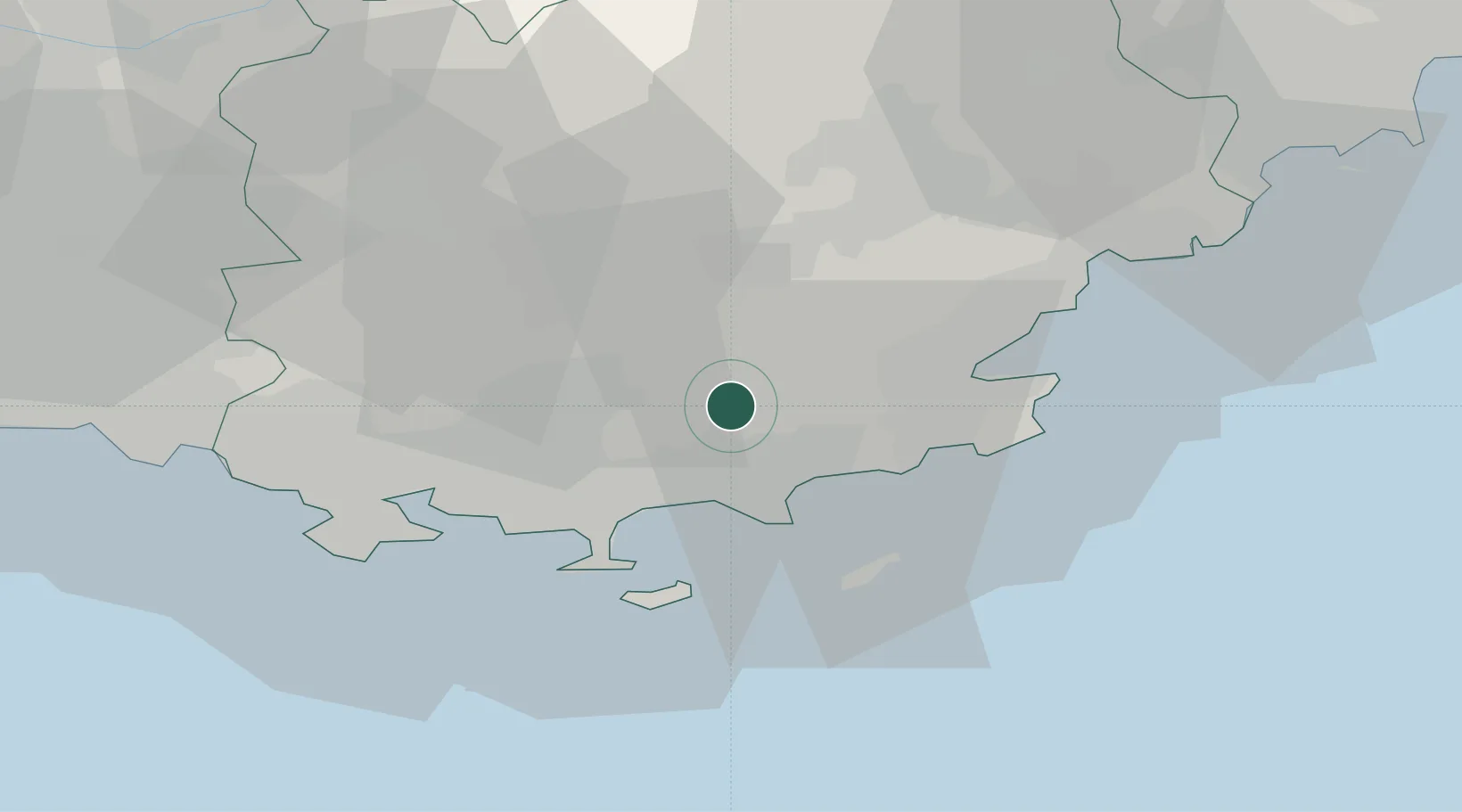
Location
Nearby Logistics Neighbours
Cities
- 1Pignans9 km
- 2Gonfaron9 km
- 3Les Mayons11 km
- 4Carnoules12 km
- 5Puget-Ville15 km
Ports
- 1Saint-Tropez27 km
- 2Toulon34 km
- 3Saint-Raphael43 km
- 4Cannes68 km
- 5Marseille76 km
Airports
- 1La Môle Airport15 km
- 2Le Luc-Le Cannet Airfield18 km
- 3Toulon-Hyères Airport20 km
- 4Le Castellet Airport42 km
- 5Cannes Mandelieu Airport64 km
Trade Zones
- 1ZFU Toulon32 km
- 2ZFU La Seyne-sur-Mer41 km
- 3ZFU Marseille 15e et 16e77 km
- 4ZFU Saint-Barthélémy, Le Canet, Delorme-Paternelle86 km
- 5ZFU LAriane98 km
DatabookThe Record of Consolidated Knowledge
France beyond logistics?