UN/LOCODE hub · France
FRS7L
La Chapelle-sous-Brancion
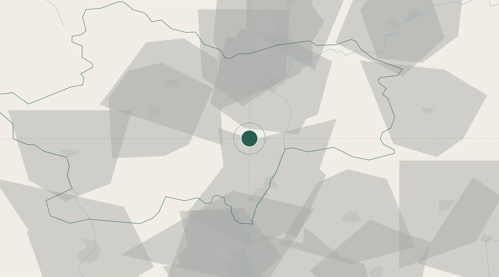
46.5500°, 4.7833°
140
Population
1
Transport functions
Transport Functions
Multimodal
Hub Profile
Place type
Populated place
Region
Bourgogne
Population
140
Time zone
Europe/Paris
Elevation
263 m
Location
Nearby Logistics Neighbours
Cities
- 1Étrigny4 km
- 2Bissy-sous-Uxelles5 km
- 3Cruzille6 km
- 4Chardonnay9 km
- 5Uchizy10 km
Ports
- 1Fos349 km
- 2Port-de-Bouc351 km
- 3Port Saint Louis Du Rhone352 km
- 4Sete361 km
- 5Marseille362 km
Airports
- 1Mâcon-Charnay Airfield28 km
- 2Saint-Yan Airport61 km
- 3Dole Tavaux Airport73 km
- 4Ambérieu Air Base (BA 278)75 km
- 5Roanne-Renaison Airport82 km
Trade Zones
- 1ZFU Rillieux-la-Pape81 km
- 2ZFU Chenôve84 km
- 3ZFU Vaulx-en-Velin86 km
- 4ZFU Lyon 9e86 km
- 5ZFU Vénissieux95 km
DatabookThe Record of Consolidated Knowledge
France beyond logistics?