Transport Functions
Multimodal
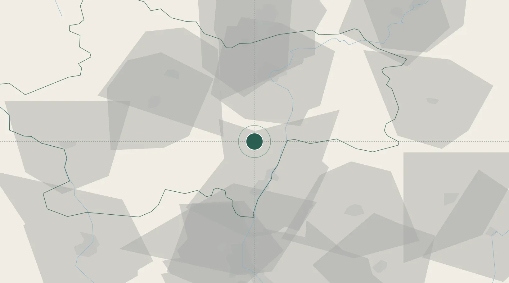
Hub Profile
Place type
Populated place
Region
Bourgogne
Population
296
Time zone
Europe/Paris
Elevation
300 m
Location
Nearby Logistics Neighbours
Cities
- 1Chardonnay5 km
- 2Montbellet5 km
- 3La Chapelle-sous-Brancion6 km
- 4Blanot6 km
- 5Uchizy6 km
Ports
- 1Fos343 km
- 2Port-de-Bouc345 km
- 3Port Saint Louis Du Rhone347 km
- 4Sete355 km
- 5Marseille357 km
Airports
- 1Mâcon-Charnay Airfield23 km
- 2Saint-Yan Airport61 km
- 3Ambérieu Air Base (BA 278)70 km
- 4Dole Tavaux Airport77 km
- 5Roanne-Renaison Airport79 km
Trade Zones
- 1ZFU Rillieux-la-Pape75 km
- 2ZFU Vaulx-en-Velin81 km
- 3ZFU Lyon 9e81 km
- 4ZFU Chenôve89 km
- 5ZFU Vénissieux89 km
DatabookThe Record of Consolidated Knowledge
France beyond logistics?