Transport Functions
Multimodal
Hub Profile
Place type
Populated place
Region
Nouvelle-Aquitaine
Population
704
Time zone
Europe/Paris
Elevation
127 m
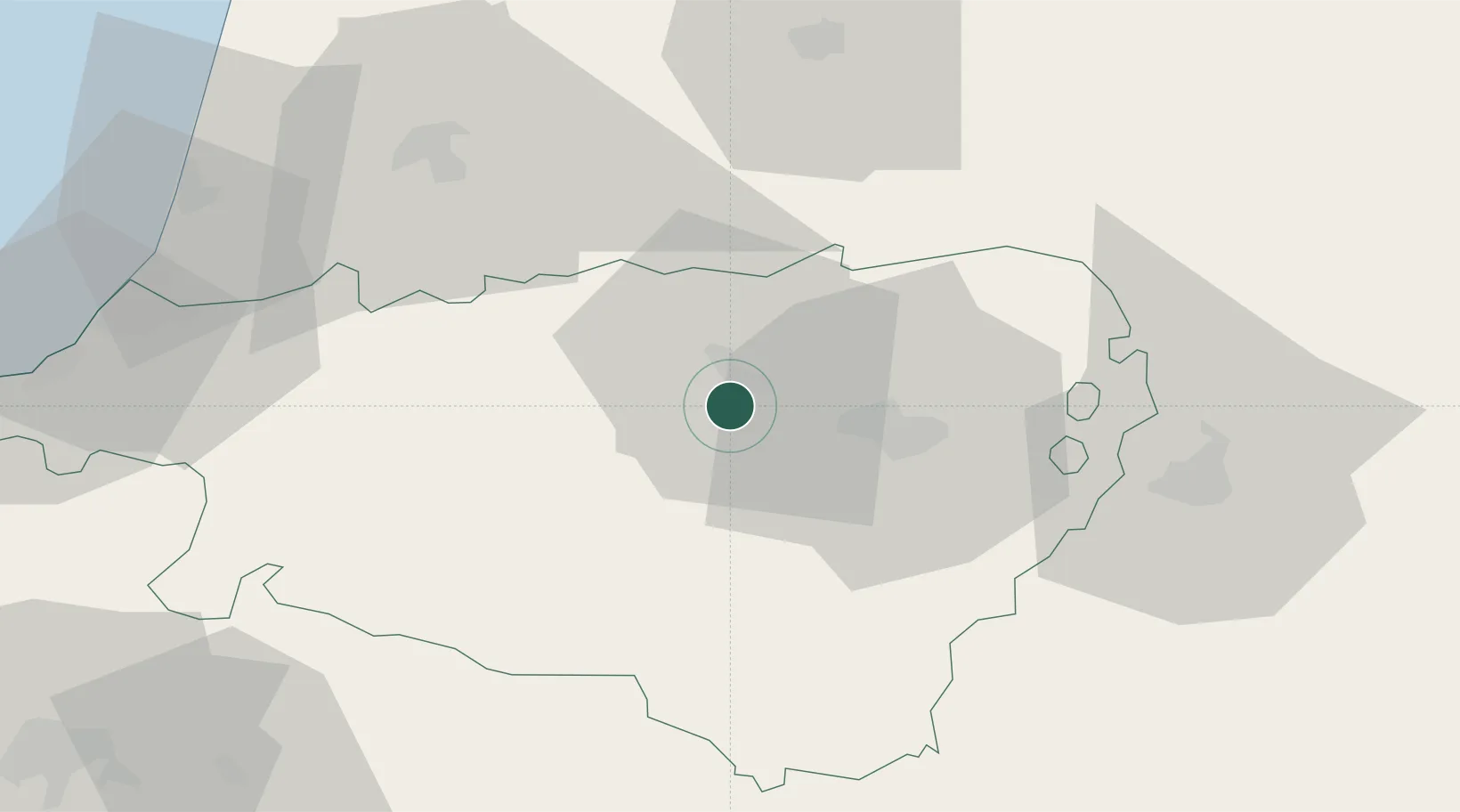
Location
Nearby Logistics Neighbours
Cities
- 1Monein5 km
- 2Cuqueron7 km
- 3Artix7 km
- 4Lacq7 km
- 5Castetnau-Camblong14 km
Ports
- 1Bayonne71 km
- 2Puerto De Pasajes107 km
- 3Bordeaux169 km
- 4Bermeo170 km
- 5Ambes185 km
Airports
Trade Zones
- 1Depósito Franco de Pasajes (Guipúzcoa)106 km
- 2ZFU Hauts de Garonne165 km
- 3ZFU Toulouse169 km
- 4Port de Bordeaux174 km
- 5Depósito Franco de Zaragoza190 km
DatabookThe Record of Consolidated Knowledge
France beyond logistics?