Transport Functions
Port
Multimodal
Hub Profile
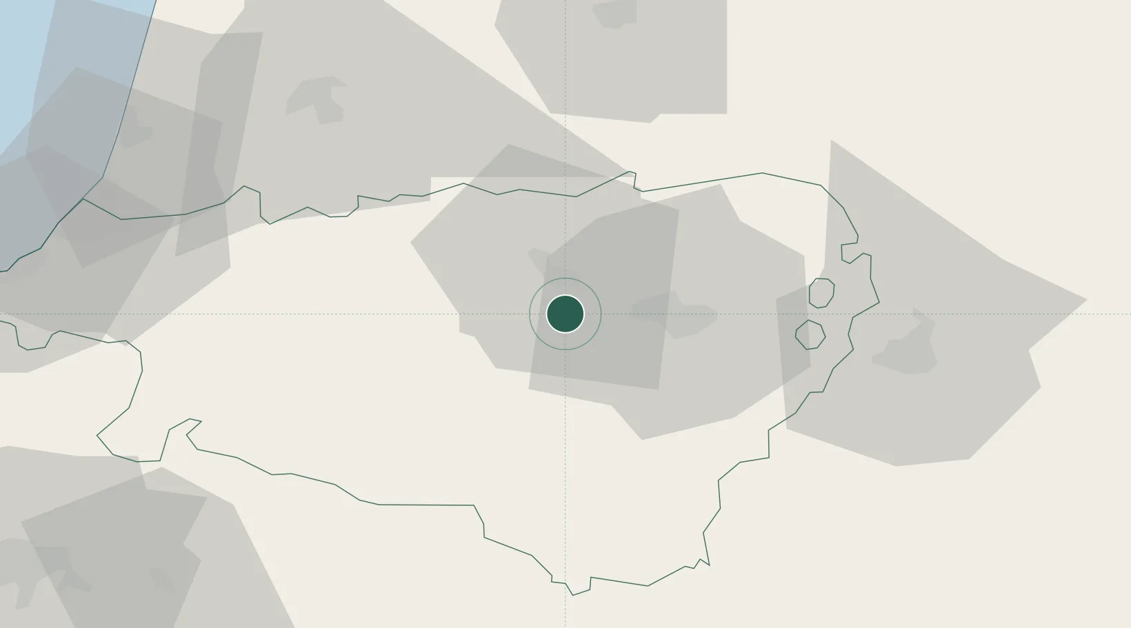
Place type
Populated place
Region
Nouvelle-Aquitaine
Population
4,510
Time zone
Europe/Paris
Elevation
157 m
Location
Nearby Logistics Neighbours
Cities
- 1Cuqueron3 km
- 2Lahourcade5 km
- 3Artix9 km
- 4Lacq11 km
- 5Lescar14 km
Ports
- 1Bayonne74 km
- 2Puerto De Pasajes109 km
- 3Bordeaux172 km
- 4Bermeo173 km
- 5Ambes189 km
Airports
Trade Zones
- 1Depósito Franco de Pasajes (Guipúzcoa)108 km
- 2ZFU Toulouse167 km
- 3ZFU Hauts de Garonne168 km
- 4Port de Bordeaux177 km
- 5Depósito Franco de Zaragoza187 km
DatabookThe Record of Consolidated Knowledge
France beyond logistics?