Transport Functions
Rail
Road
Hub Profile
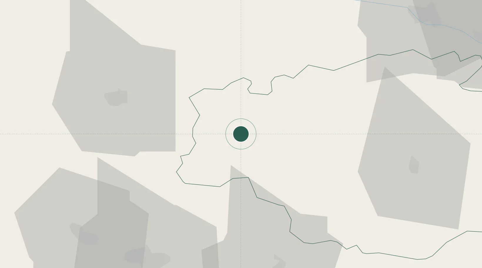
Place type
Populated place
Region
Occitanie
Population
2,120
Time zone
Europe/Paris
Elevation
107 m
Location
Nearby Logistics Neighbours
Cities
- 1Sorbets6 km
- 2Manciet7 km
- 3Sarragachies9 km
- 4Monlezun-d'Armagnac11 km
- 5Lias-d'Armagnac11 km
Ports
- 1Bayonne119 km
- 2Bordeaux130 km
- 3Ambes145 km
- 4Blaye160 km
- 5Puerto De Pasajes161 km
Airports
Trade Zones
- 1ZFU Toulouse120 km
- 2ZFU Hauts de Garonne126 km
- 3Port de Bordeaux133 km
- 4Depósito Franco de Pasajes (Guipúzcoa)160 km
- 5Depósito Franco de Zaragoza244 km
DatabookThe Record of Consolidated Knowledge
France beyond logistics?