Transport Functions
Road
Multimodal
Hub Profile
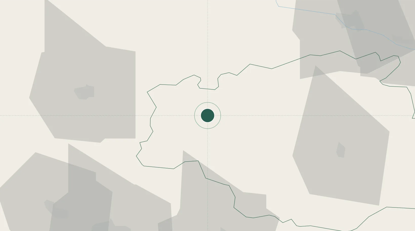
Place type
Populated place
Region
Occitanie
Population
802
Time zone
Europe/Paris
Elevation
140 m
Location
Nearby Logistics Neighbours
Cities
- 1Nogaro7 km
- 2Sorbets10 km
- 3Aubais11 km
- 4Lias-d'Armagnac11 km
- 5Castex-d'Armagnac12 km
Ports
- 1Bayonne125 km
- 2Bordeaux128 km
- 3Ambes143 km
- 4Blaye158 km
- 5Puerto De Pasajes167 km
Airports
Trade Zones
- 1ZFU Toulouse115 km
- 2ZFU Hauts de Garonne124 km
- 3Port de Bordeaux132 km
- 4Depósito Franco de Pasajes (Guipúzcoa)166 km
- 5Depósito Franco de Zaragoza249 km
DatabookThe Record of Consolidated Knowledge
France beyond logistics?