Transport Functions
Road
Multimodal
Hub Profile
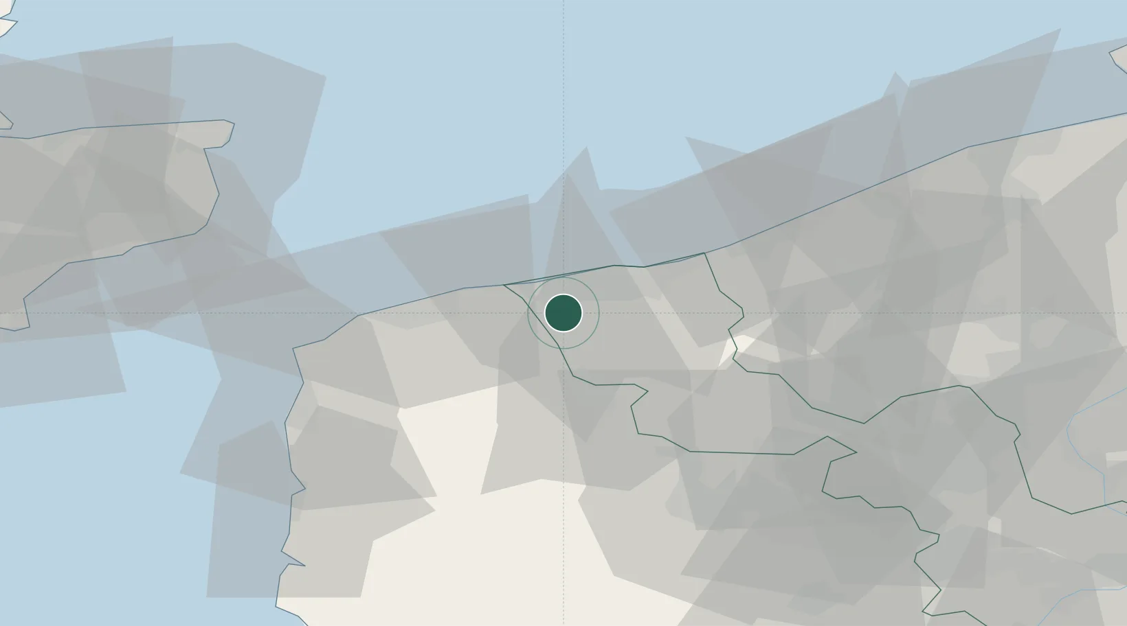
Place type
Populated place
Region
Hauts-de-France
Population
7,059
Time zone
Europe/Paris
Elevation
4 m
Location
Nearby Logistics Neighbours
Cities
- 1Gravelines6 km
- 2Dunkerque8 km
- 3Grande-Synthe8 km
- 4Spycker8 km
- 5Grand-Fort-Philippe9 km
Ports
- 1Gravelines8 km
- 2Dunkerque Port Est17 km
- 3Calais25 km
- 4Nieuwpoort44 km
- 5Boulogne-Sur-Mer49 km
Airports
Trade Zones
- 1ZFU Saint Pol sur Mer13 km
- 2ZFU Calais26 km
- 3ZFU de Lille et de Loos67 km
- 4Discovery Park - Sandwich Enterprise Zone71 km
- 5ZFU Tourcoing72 km
DatabookThe Record of Consolidated Knowledge
France beyond logistics?