Transport Functions
Rail
Airport
Postal
Hub Profile
Place type
Provincial seat
Region
Occitanie
Population
248,252
Time zone
Europe/Paris
Elevation
55 m
Logistics facilities
1
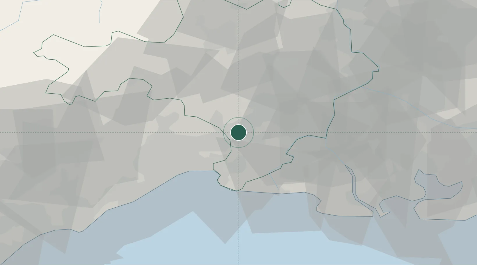
Location
Nearby Logistics Neighbours
Cities
- 1Mus1 km
- 2Vestric-et-Candiac4 km
- 3Bernis6 km
- 4Nages-et-Solorgues7 km
- 5Le Cailar7 km
Ports
- 1Sete55 km
- 2Port Saint Louis Du Rhone62 km
- 3Fos64 km
- 4Port-de-Bouc72 km
- 5Marseille104 km
Airports
Trade Zones
- 1ZFU Nîmes15 km
- 2ZFU Montpellier33 km
- 3ZFU Avignon53 km
- 4ZFU Béziers91 km
- 5ZFU Saint-Barthélémy, Le Canet, Delorme-Paternelle96 km
DatabookThe Record of Consolidated Knowledge
France beyond logistics?