Transport Functions
Port
Multimodal
Hub Profile
Place type
Local administrative seat
Region
Occitanie
Population
2,517
Time zone
Europe/Paris
Elevation
6 m
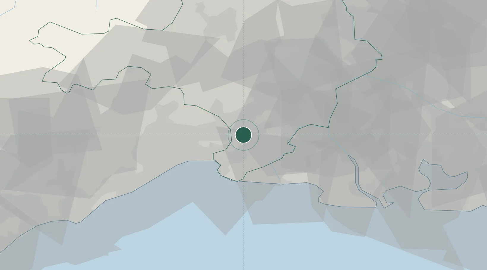
Location
Nearby Logistics Neighbours
Cities
- 1Montpellier7 km
- 2Mus8 km
- 3Vestric-et-Candiac8 km
- 4Beauvoisin9 km
- 5Bernis10 km
Ports
- 1Sete52 km
- 2Port Saint Louis Du Rhone57 km
- 3Fos59 km
- 4Port-de-Bouc67 km
- 5Marseille99 km
Airports
Trade Zones
- 1ZFU Nîmes20 km
- 2ZFU Montpellier32 km
- 3ZFU Avignon56 km
- 4ZFU Béziers90 km
- 5ZFU Saint-Barthélémy, Le Canet, Delorme-Paternelle92 km
DatabookThe Record of Consolidated Knowledge
France beyond logistics?