Transport Functions
Multimodal
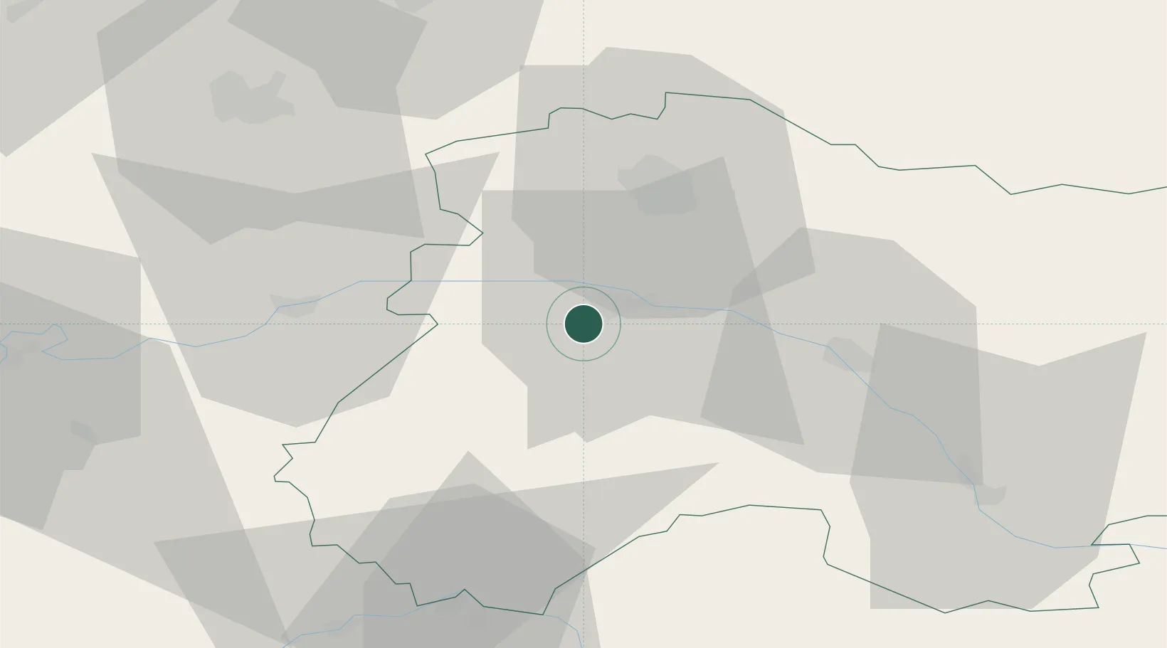
Hub Profile
Place type
Populated place
Region
Grand Est
Population
742
Time zone
Europe/Paris
Elevation
100 m
Location
Nearby Logistics Neighbours
Cities
- 1Pierry1 km
- 2Brugny-Vaudancourt3 km
- 3Monthelon4 km
- 4Mancy4 km
- 5Saint-Martin-d'Ablois4 km
Ports
- 1Bruxelles208 km
- 2Saint-Valery-Sur-Somme211 km
- 3Port Of Rouen213 km
- 4Le Treport218 km
- 5Ghent228 km
Airports
Trade Zones
DatabookThe Record of Consolidated Knowledge
France beyond logistics?