Transport Functions
Rail
Hub Profile
Place type
Populated place
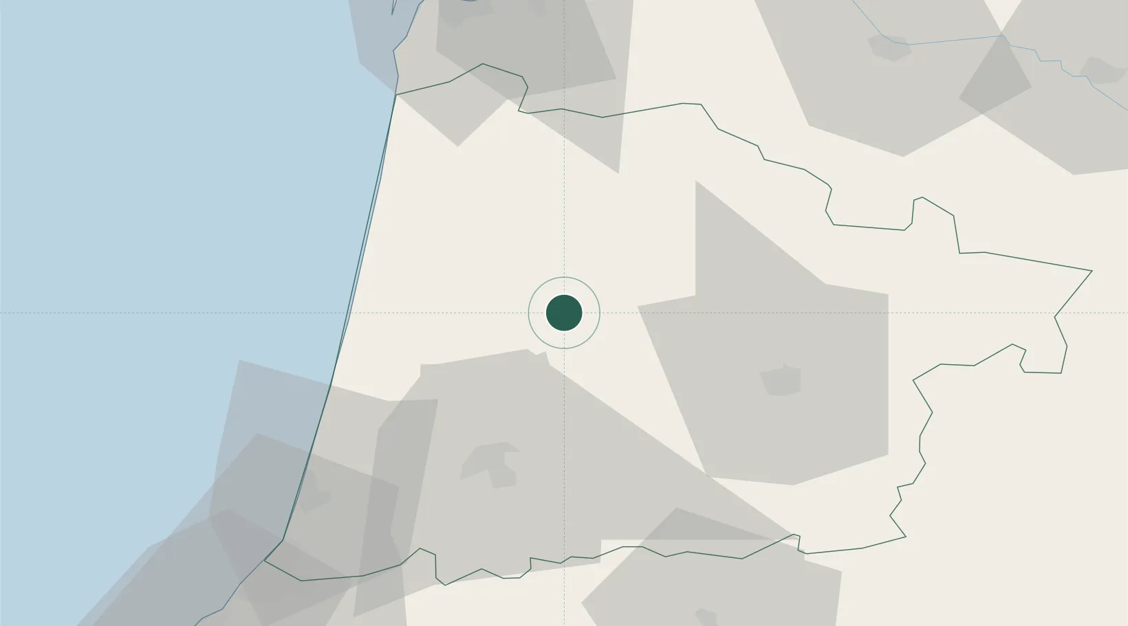
Region
Nouvelle-Aquitaine
Population
4,993
Time zone
Europe/Paris
Elevation
76 m
Location
Nearby Logistics Neighbours
Cities
- 1Lesperon15 km
- 2Laluque21 km
- 3Lesgor22 km
- 4Saint-Martin-d'Oney25 km
- 5Cassen30 km
Ports
- 1Bayonne74 km
- 2Bordeaux97 km
- 3Puerto De Pasajes113 km
- 4Ambes114 km
- 5Blaye124 km
Airports
Trade Zones
- 1ZFU Hauts de Garonne93 km
- 2Port de Bordeaux102 km
- 3Depósito Franco de Pasajes (Guipúzcoa)113 km
- 4Depósito Franco de Bilbao188 km
- 5ZFU Toulouse195 km
DatabookThe Record of Consolidated Knowledge
France beyond logistics?