Transport Functions
Rail
Road
Hub Profile
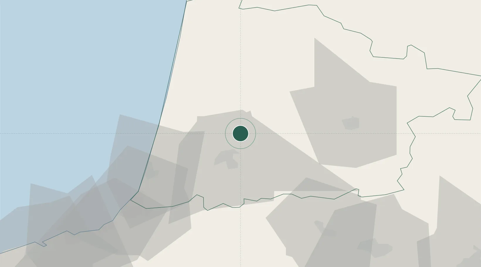
Place type
Populated place
Region
Nouvelle-Aquitaine
Population
659
Time zone
Europe/Paris
Elevation
62 m
Location
Nearby Logistics Neighbours
Ports
- 1Bayonne54 km
- 2Puerto De Pasajes95 km
- 3Bordeaux118 km
- 4Ambes135 km
- 5Blaye145 km
Airports
Trade Zones
- 1Depósito Franco de Pasajes (Guipúzcoa)95 km
- 2ZFU Hauts de Garonne114 km
- 3Port de Bordeaux124 km
- 4Depósito Franco de Bilbao174 km
- 5ZFU Toulouse198 km
DatabookThe Record of Consolidated Knowledge
France beyond logistics?