Transport Functions
Road
Multimodal
Hub Profile
Place type
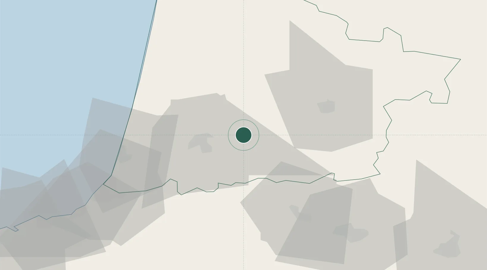
Populated place
Region
Nouvelle-Aquitaine
Population
403
Time zone
Europe/Paris
Elevation
62 m
Location
Nearby Logistics Neighbours
Cities
- 1Lesgor8 km
- 2Souprosse14 km
- 3Laluque14 km
- 4Pomarez15 km
- 5Caupenne-d'Armagnac16 km
Ports
- 1Bayonne57 km
- 2Puerto De Pasajes99 km
- 3Bordeaux125 km
- 4Ambes142 km
- 5Blaye153 km
Airports
Trade Zones
- 1Depósito Franco de Pasajes (Guipúzcoa)98 km
- 2ZFU Hauts de Garonne120 km
- 3Port de Bordeaux130 km
- 4Depósito Franco de Bilbao182 km
- 5ZFU Toulouse187 km
DatabookThe Record of Consolidated Knowledge
France beyond logistics?