Transport Functions
Multimodal
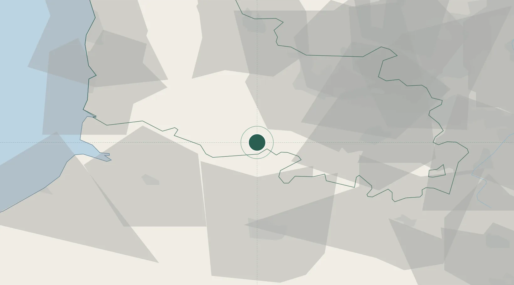
Hub Profile
Place type
Populated place
Region
Hauts-de-France
Population
4,077
Time zone
Europe/Paris
Elevation
73 m
Location
Nearby Logistics Neighbours
Cities
- 1Herlin-le-Sec10 km
- 2Saint-Pol-sur-Ternoise13 km
- 3Marconne20 km
- 4Grigny20 km
- 5Marconnelle22 km
Ports
- 1Saint-Valery-Sur-Somme48 km
- 2Le Treport69 km
- 3Boulogne-Sur-Mer71 km
- 4Gravelines82 km
- 5Calais84 km
Airports
DatabookThe Record of Consolidated Knowledge
France beyond logistics?