UN/LOCODE hub · France
FRNKL

Saint-André-d'Apchon

46.0333°, 3.9333°
1
Transport functions

Transport Functions

Multimodal
UN/LOCODE

Hub Profile

Place type
Populated place
GeoNames
Region
Rhône-Alpes
GeoNames
Time zone
Europe/Paris
GeoNames
Elevation
387 m
GeoNames

Location

Location of FRNKL
Natural Earth 10m (public domain) · Rhône-Alpes · FRNKL · 46.03, 3.93GoogleOSMYandex

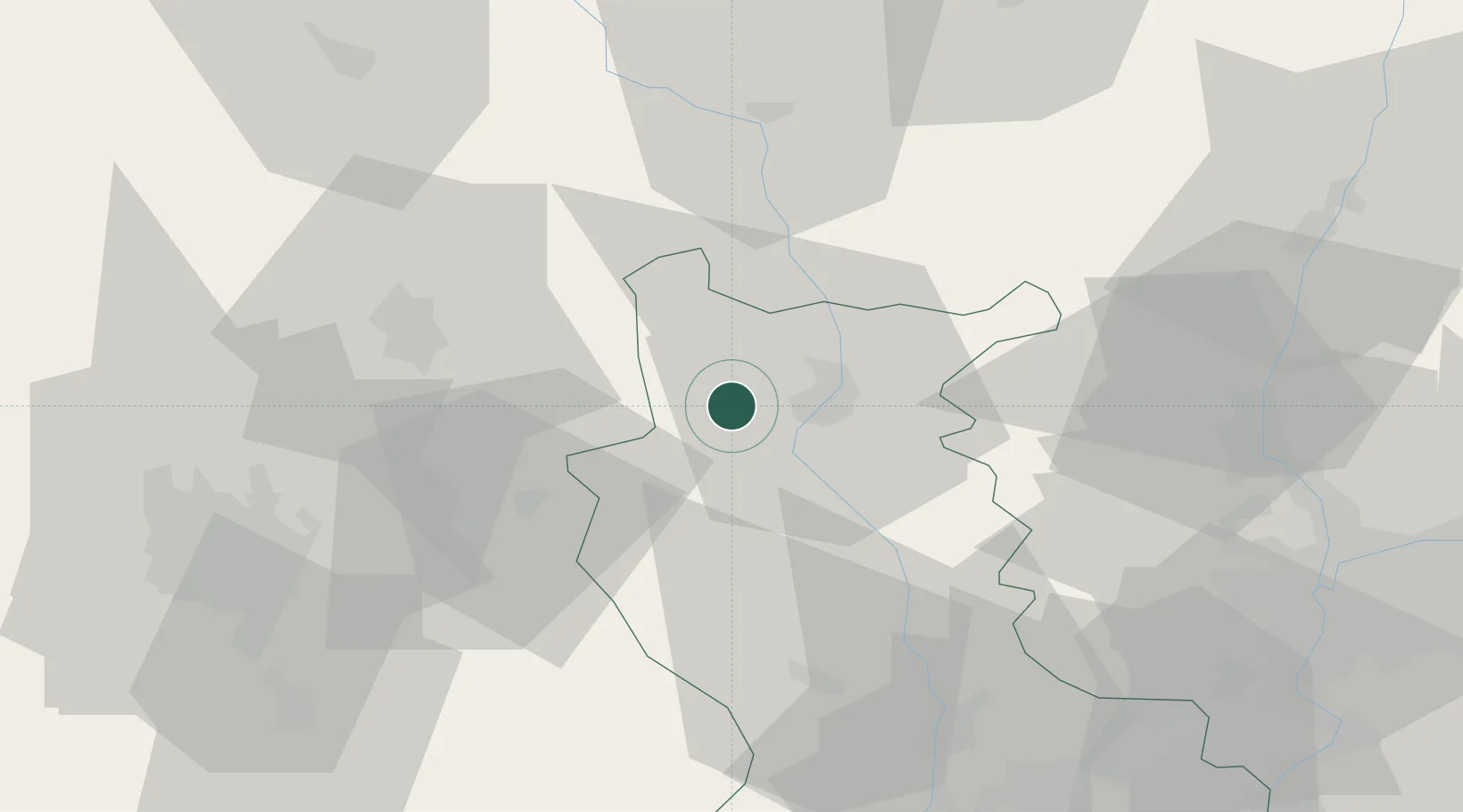
Nearby Logistics Neighbours

Cities
  1. 1Renaison2 km
  2. 2Saint-Haon-le-Vieux4 km
  3. 3Villemontais6 km
  4. 4Ambierle8 km
  5. 5Mably12 km
Nearest neighbours — logibook spatial index (haversine) over the source coordinates
Ports
  1. 1Sete293 km
  2. 2Fos301 km
  3. 3Port Saint Louis Du Rhone303 km
  4. 4Port-de-Bouc304 km
  5. 5Marseille323 km
Nearest neighbours — logibook spatial index (haversine) over the source coordinates
Airports
  1. 1Roanne-Renaison Airport6 km
  2. 2Saint-Yan Airport43 km
  3. 3Vichy-Charmeil Airport44 km
  4. 4Saint-Étienne-Bouthéon Airport62 km
  5. 5Clermont-Ferrand Auvergne airport65 km
Nearest neighbours — logibook spatial index (haversine) over the source coordinates
Trade Zones
  1. 1ZFU Clermont-Ferrand72 km
  2. 2ZFU Saint-Etienne73 km
  3. 3ZFU Lyon 9e73 km
  4. 4ZFU Rillieux-la-Pape75 km
  5. 5ZFU Vénissieux80 km
Nearest neighbours — logibook spatial index (haversine) over the source coordinates
DatabookThe Record of Consolidated Knowledge
France beyond logistics?
Browse databook

All Sources

LocationsUN/LOCODE
UN/LOCODE — free
Portsthe NGA World Port Index
Public domain (US gov)
AirportsOurAirports
Public domain
Trade Zonesthe World Bank SEZ database
CC BY 4.0
Trade ZonesOpen Zone Map
CC BY
← France locations