UN/LOCODE hub · France
FRGJG
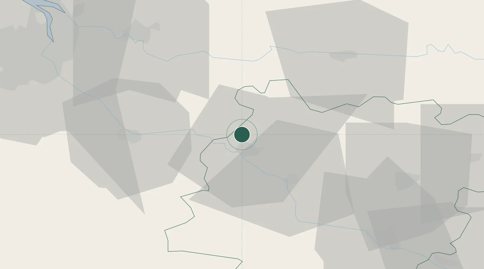
Castelnau-sur-Gupie
44.5667°, 0.1333°
784
Population
2
Transport functions
Transport Functions
Road
Multimodal
Hub Profile
Place type
Populated place
Region
Nouvelle-Aquitaine
Population
784
Time zone
Europe/Paris
Elevation
58 m
Location
Nearby Logistics Neighbours
Cities
- 1Lagupie2 km
- 2Saint-Vivien-de-Monségur6 km
- 3Fossès-et-Baleyssac8 km
- 4Marmande8 km
- 5Virazeil10 km
Airports
Trade Zones
- 1ZFU Hauts de Garonne63 km
- 2Port de Bordeaux65 km
- 3ZFU Toulouse150 km
- 4ZFU La Rochelle206 km
- 5Depósito Franco de Pasajes (Guipúzcoa)215 km
DatabookThe Record of Consolidated Knowledge
France beyond logistics?