Transport Functions
Rail
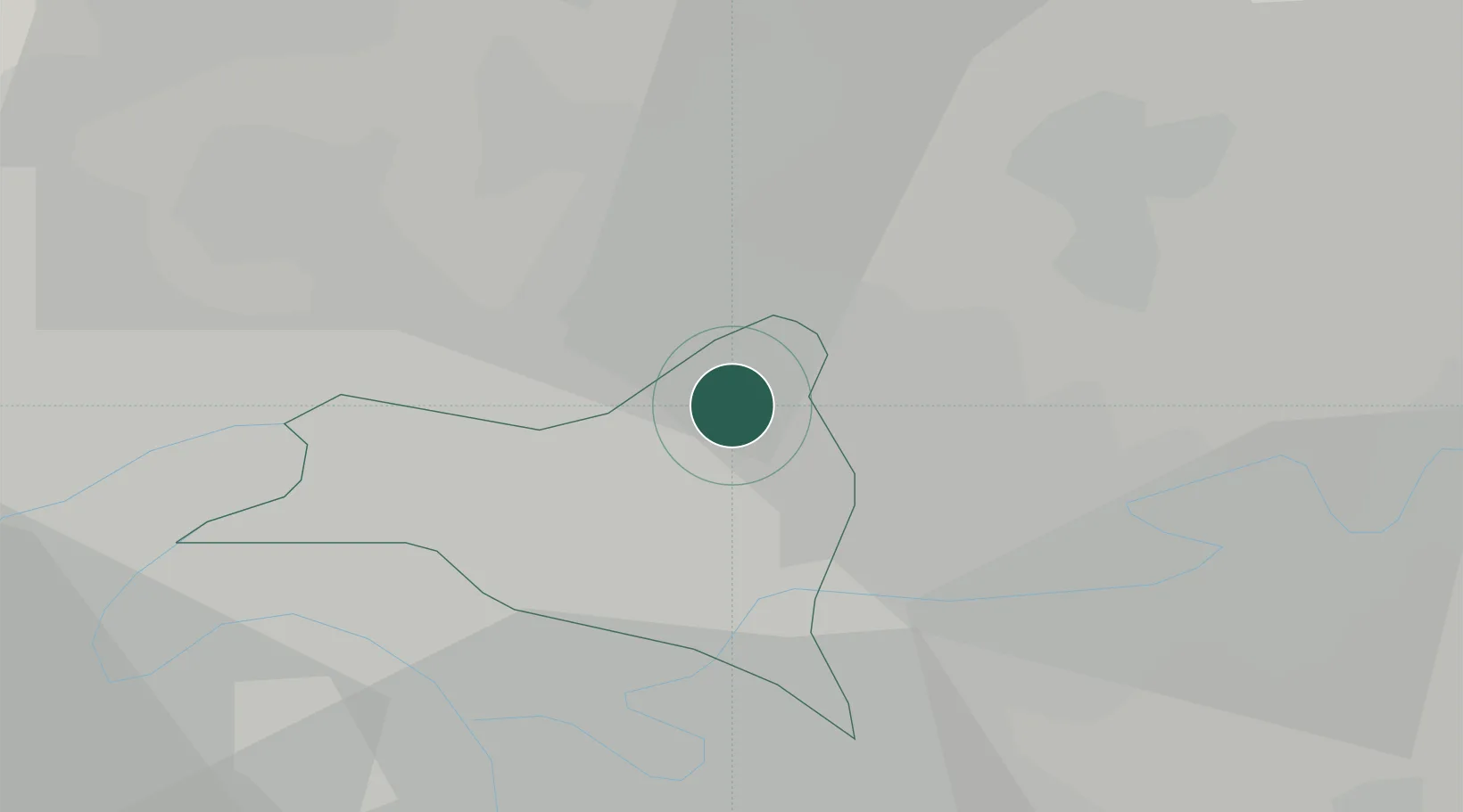
Hub Profile
Place type
Populated place
Region
Île-de-France
Population
37,114
Time zone
Europe/Paris
Elevation
57 m
Location
Nearby Logistics Neighbours
Cities
- 1Sevran4 km
- 2Charles-de-gaulle Apt/paris6 km
- 3Le Blanc-Mesnil7 km
- 4Bonneuil-en-France7 km
- 5Goussainville7 km
Ports
- 1Port Of Rouen119 km
- 2Le Treport149 km
- 3Dieppe150 km
- 4Saint-Valery-Sur-Somme151 km
- 5Honfleur176 km
Airports
Trade Zones
- 1ZFU Sevran3 km
- 2ZFU Le Blanc-Mesnil, Dugny6 km
- 3ZFU Aulnay-sous-Bois6 km
- 4ZFU Clichy-sous-Bois et Montfermeil8 km
- 5ZFU Bondy8 km
DatabookThe Record of Consolidated Knowledge
France beyond logistics?