UN/LOCODE hub · France
FRSD2
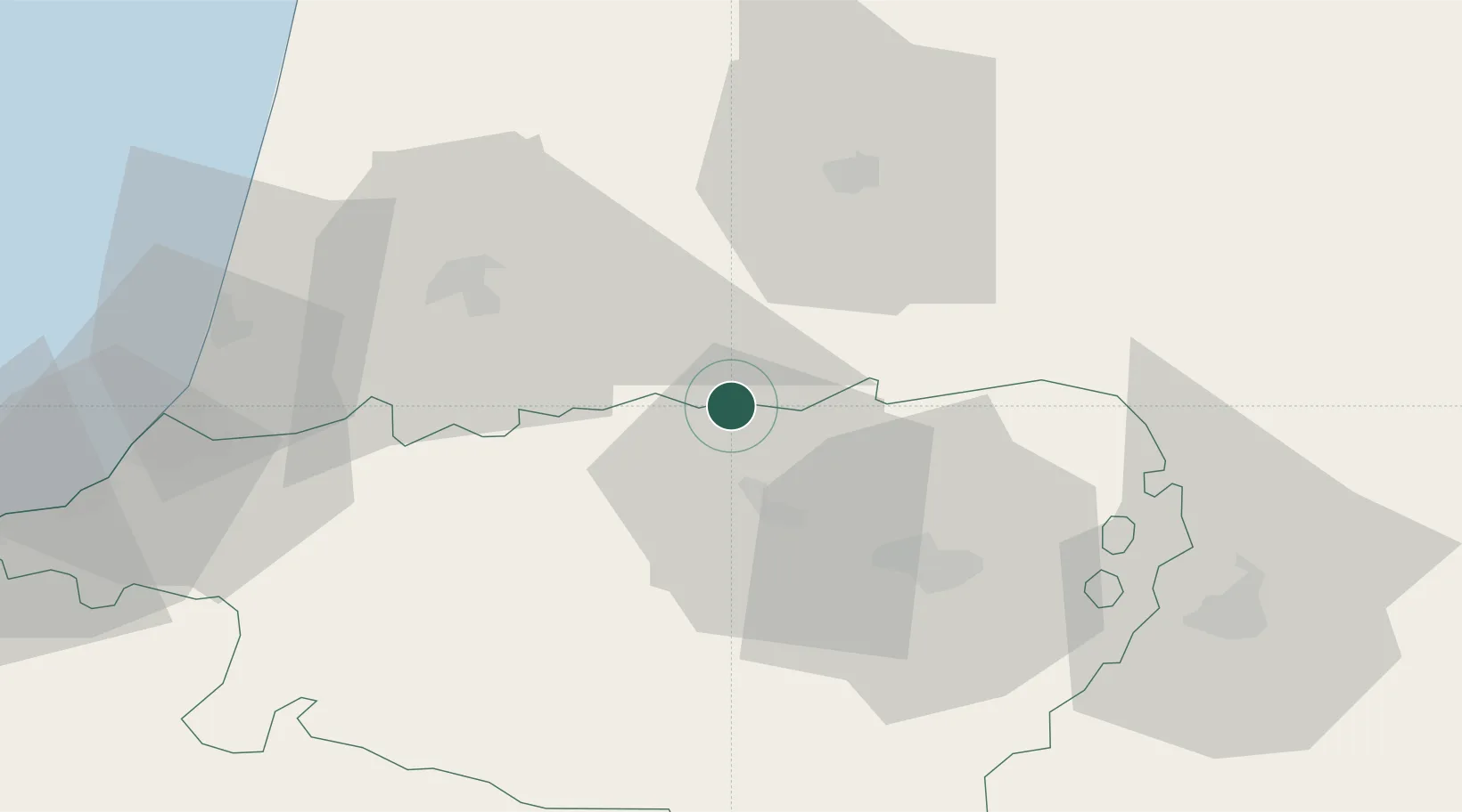
Sault-de-Navailles
43.5500°, -0.6667°
847
Population
1
Transport functions
Transport Functions
Multimodal
Hub Profile
Place type
Populated place
Region
Nouvelle-Aquitaine
Population
847
Time zone
Europe/Paris
Elevation
65 m
Location
Nearby Logistics Neighbours
Ports
- 1Bayonne65 km
- 2Puerto De Pasajes105 km
- 3Bordeaux147 km
- 4Ambes163 km
- 5Bermeo166 km
Airports
Trade Zones
- 1Depósito Franco de Pasajes (Guipúzcoa)105 km
- 2ZFU Hauts de Garonne142 km
- 3Port de Bordeaux152 km
- 4ZFU Toulouse170 km
- 5Depósito Franco de Bilbao193 km
DatabookThe Record of Consolidated Knowledge
France beyond logistics?