Transport Functions
Rail
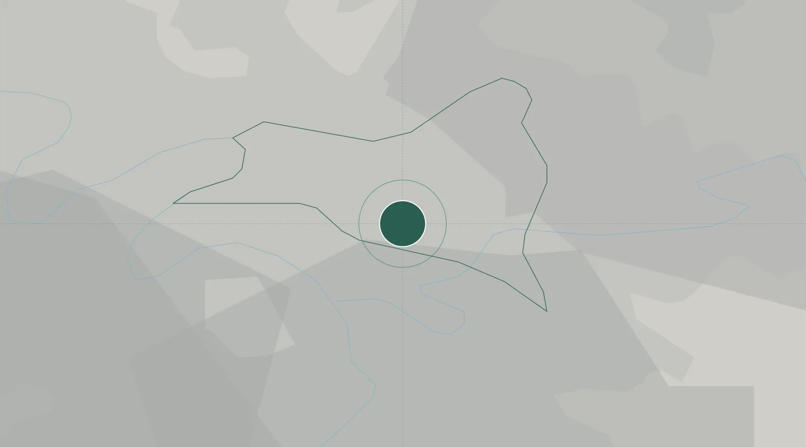
Hub Profile
Place type
Populated place
Region
Île-de-France
Population
38,955
Time zone
Europe/Paris
Elevation
64 m
Location
Nearby Logistics Neighbours
Cities
- 1Le Raincy4 km
- 2Gagny5 km
- 3Pantin5 km
- 4Le Blanc-Mesnil6 km
- 5Le Perreux-sur-Marne6 km
Ports
- 1Port Of Rouen120 km
- 2Le Treport154 km
- 3Dieppe154 km
- 4Saint-Valery-Sur-Somme157 km
- 5Honfleur174 km
Airports
Trade Zones
DatabookThe Record of Consolidated Knowledge
France beyond logistics?