UN/LOCODE hub · France
FRGLG
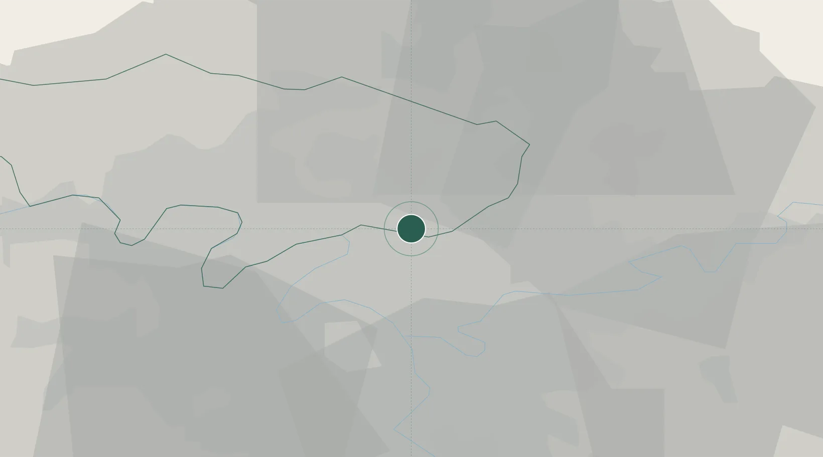
Garges-lès-Gonesse
48.9667°, 2.4167°
39,847
Population
1
Transport functions
Transport Functions
Rail
Hub Profile
Place type
Populated place
Region
Île-de-France
Population
39,847
Time zone
Europe/Paris
Elevation
64 m
Location
Nearby Logistics Neighbours
Cities
- 1Bonneuil-en-France1 km
- 2Arnouville2 km
- 3Le Bourget Apt/Paris2 km
- 4Le Blanc-Mesnil4 km
- 5Goussainville7 km
Ports
- 1Port Of Rouen112 km
- 2Le Treport144 km
- 3Dieppe144 km
- 4Saint-Valery-Sur-Somme147 km
- 5Honfleur168 km
Airports
Trade Zones
DatabookThe Record of Consolidated Knowledge
France beyond logistics?