Transport Functions
Rail
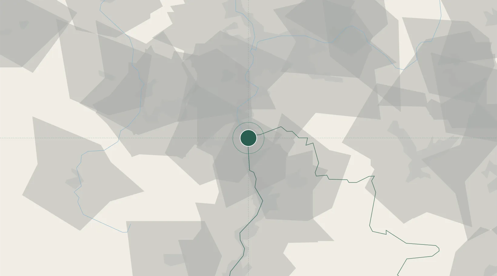
Hub Profile
Place type
Populated place
Region
Rhône-Alpes
Time zone
Europe/Paris
Elevation
159 m
Location
Nearby Logistics Neighbours
Cities
- 1Saint-Désirat5 km
- 2Salaise-sur-Sanne6 km
- 3Andancette6 km
- 4Charnas8 km
- 5Limony8 km
Ports
- 1Fos208 km
- 2Port-de-Bouc210 km
- 3Port Saint Louis Du Rhone211 km
- 4Marseille223 km
- 5Sete228 km
Airports
Trade Zones
- 1ZFU Valence40 km
- 2ZFU Saint-Etienne44 km
- 3ZFU Vénissieux46 km
- 4ZFU Lyon 9e55 km
- 5ZFU Vaulx-en-Velin56 km
DatabookThe Record of Consolidated Knowledge
France beyond logistics?