UN/LOCODE hub · France
FRSAL
Salaise-sur-Sanne
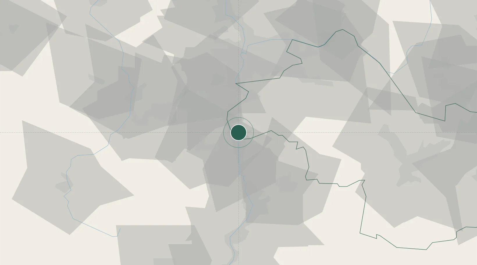
45.3333°, 4.8167°
3,981
Population
2
Transport functions
Transport Functions
Rail
Road
Hub Profile
Place type
Populated place
Region
Rhône-Alpes
Population
3,981
Time zone
Europe/Paris
Elevation
177 m
Location
Nearby Logistics Neighbours
Cities
- 1Roussillon4 km
- 2Limony4 km
- 3Charnas5 km
- 4Saint-Rambert-d'Albon6 km
- 5Saint-Pierre-de-Buf8 km
Ports
- 1Fos213 km
- 2Port-de-Bouc215 km
- 3Port Saint Louis Du Rhone217 km
- 4Marseille229 km
- 5Sete233 km
Airports
Trade Zones
- 1ZFU Vénissieux41 km
- 2ZFU Saint-Etienne42 km
- 3ZFU Valence46 km
- 4ZFU Lyon 9e49 km
- 5ZFU Vaulx-en-Velin51 km
DatabookThe Record of Consolidated Knowledge
France beyond logistics?