Transport Functions
Rail
Road
Hub Profile
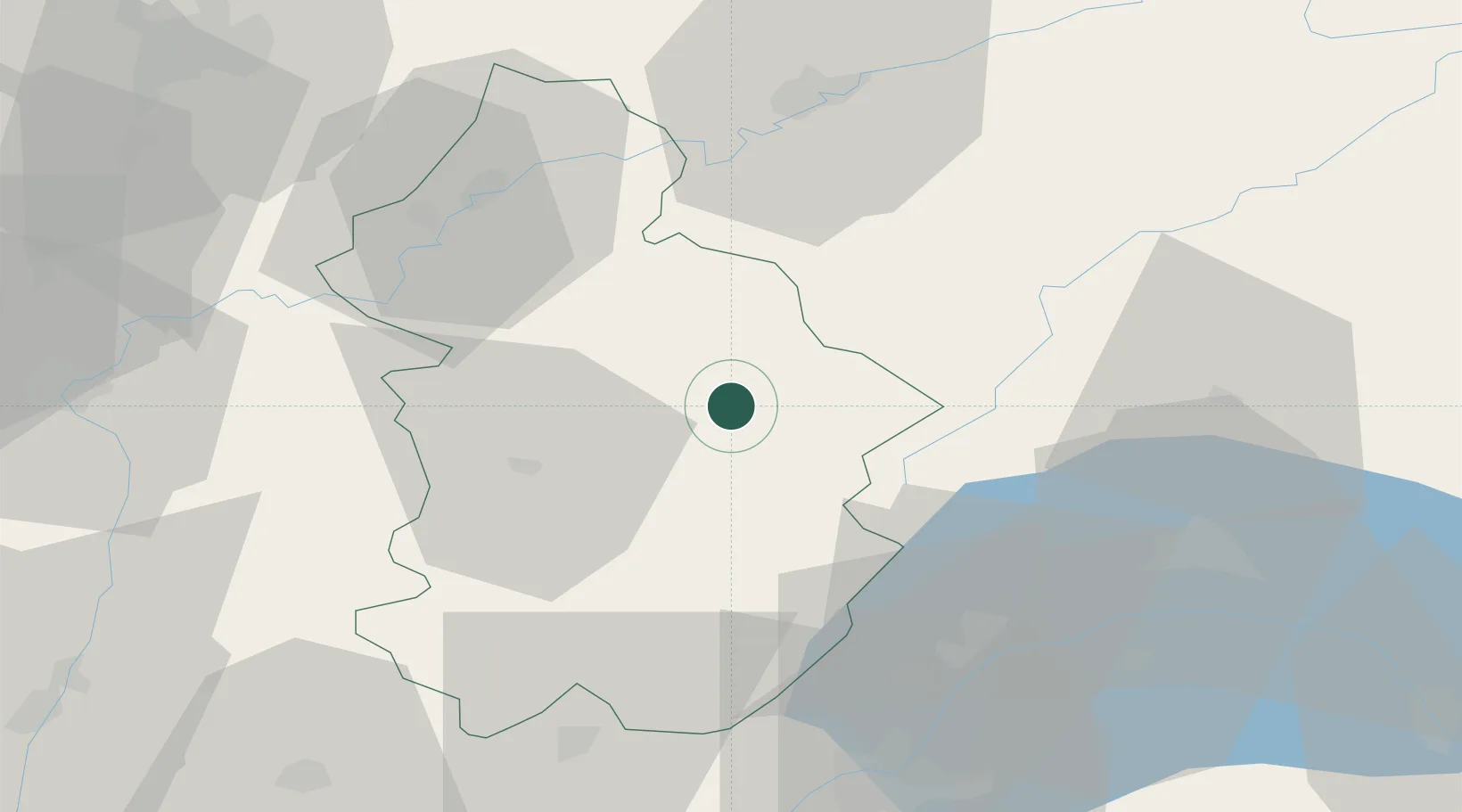
Place type
Populated place
Region
Bourgogne
Population
117
Time zone
Europe/Paris
Elevation
587 m
Location
Nearby Logistics Neighbours
Cities
- 1Champagnole3 km
- 2Vaux-sur-Poligny15 km
- 3Pupillin16 km
- 4Mesnay16 km
- 5Salins-les-Bains19 km
Ports
- 1Savona340 km
- 2Rada Di Vado343 km
- 3Genova354 km
- 4Monaco358 km
- 5Nice358 km
Airports
- 1Dole Tavaux Airport46 km
- 2Geneva Cointrin International Airport61 km
- 3Annemasse Airfield70 km
- 4Les Eplatures Airport78 km
- 5Payerne Air Base79 km
Trade Zones
DatabookThe Record of Consolidated Knowledge
France beyond logistics?