Transport Functions
Road
Multimodal
Hub Profile
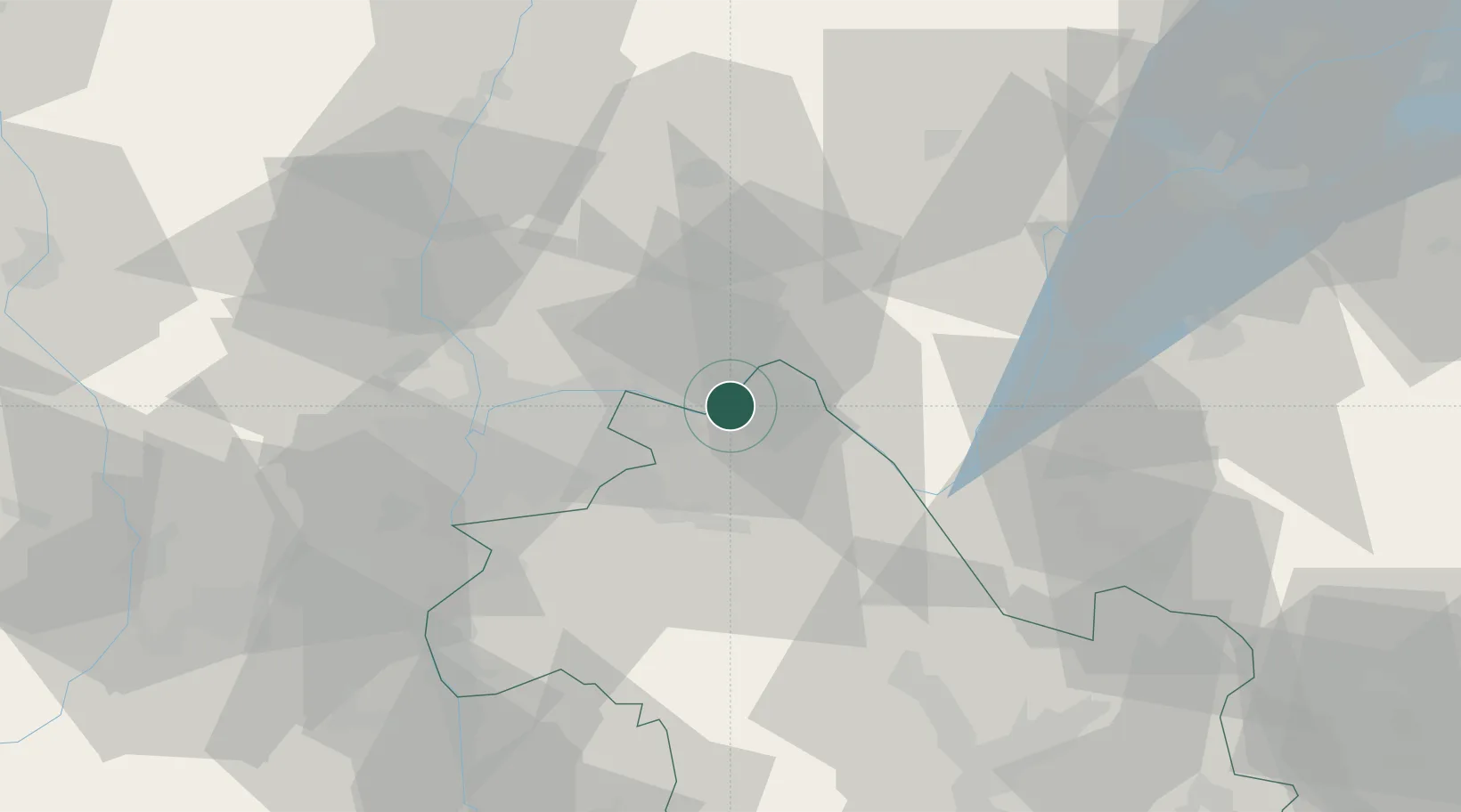
Place type
Populated place
Region
Rhône-Alpes
Population
1,082
Time zone
Europe/Paris
Elevation
226 m
Location
Nearby Logistics Neighbours
Cities
- 1Blyes6 km
- 2Bouvesse-Quirieu9 km
- 3Porcieu-Amblagnieu10 km
- 4Saint-Sorlin-en-Bugey11 km
- 5La Valbonne13 km
Ports
- 1Fos267 km
- 2Port-de-Bouc268 km
- 3Port Saint Louis Du Rhone271 km
- 4Marseille276 km
- 5Nice282 km
Airports
Trade Zones
- 1ZFU Vaulx-en-Velin28 km
- 2ZFU Rillieux-la-Pape33 km
- 3ZFU Vénissieux36 km
- 4ZFU Lyon 9e37 km
- 5ZFU Grenoble75 km
DatabookThe Record of Consolidated Knowledge
France beyond logistics?