Transport Functions
Rail
Road
Hub Profile
Region
38
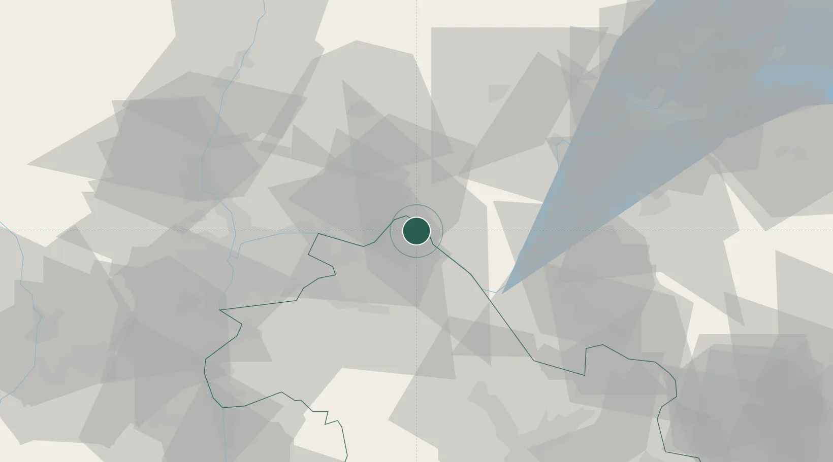
Location
Nearby Logistics Neighbours
Cities
- 1Villebois3 km
- 2Bouvesse-Quirieu4 km
- 3Saint-Sorlin-en-Bugey6 km
- 4Montagnieu6 km
- 5Seillonnaz7 km
Ports
- 1Fos272 km
- 2Port-de-Bouc273 km
- 3Port Saint Louis Du Rhone276 km
- 4Marseille280 km
- 5Nice280 km
Airports
Trade Zones
- 1ZFU Vaulx-en-Velin38 km
- 2ZFU Rillieux-la-Pape42 km
- 3ZFU Vénissieux45 km
- 4ZFU Lyon 9e47 km
- 5Port Franc de Geneve66 km
DatabookThe Record of Consolidated Knowledge
France beyond logistics?