Transport Functions
Rail
Road
Hub Profile
Place type
Populated place
Region
Rhône-Alpes
Time zone
Europe/Paris
Elevation
214 m
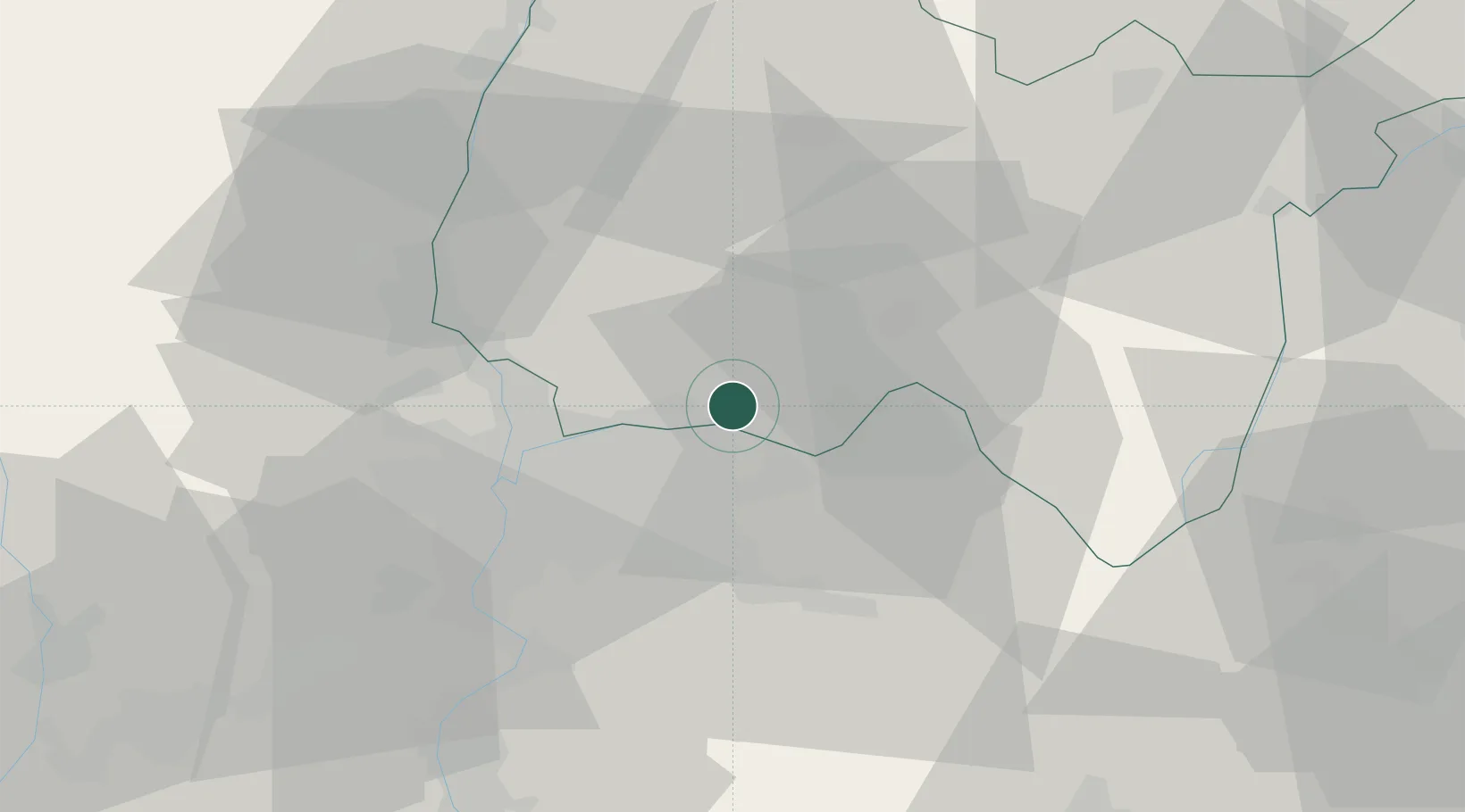
Location
Nearby Logistics Neighbours
Cities
- 1Bressolles3 km
- 2Balan3 km
- 3Villette-d'Anthon6 km
- 4Blyes9 km
- 5Janneyrias11 km
Ports
- 1Fos271 km
- 2Port-de-Bouc273 km
- 3Port Saint Louis Du Rhone275 km
- 4Marseille282 km
- 5Nice293 km
Airports
- 1Lyon Saint-Exupéry Airport14 km
- 2Lyon Bron Airport20 km
- 3Ambérieu Air Base (BA 278)22 km
- 4Mâcon-Charnay Airfield56 km
- 5Grenoble Alpes Isère Airport56 km
Trade Zones
- 1ZFU Vaulx-en-Velin18 km
- 2ZFU Rillieux-la-Pape21 km
- 3ZFU Lyon 9e27 km
- 4ZFU Vénissieux28 km
- 5ZFU Saint-Etienne81 km
DatabookThe Record of Consolidated Knowledge
France beyond logistics?