Transport Functions
Road
Multimodal
Hub Profile
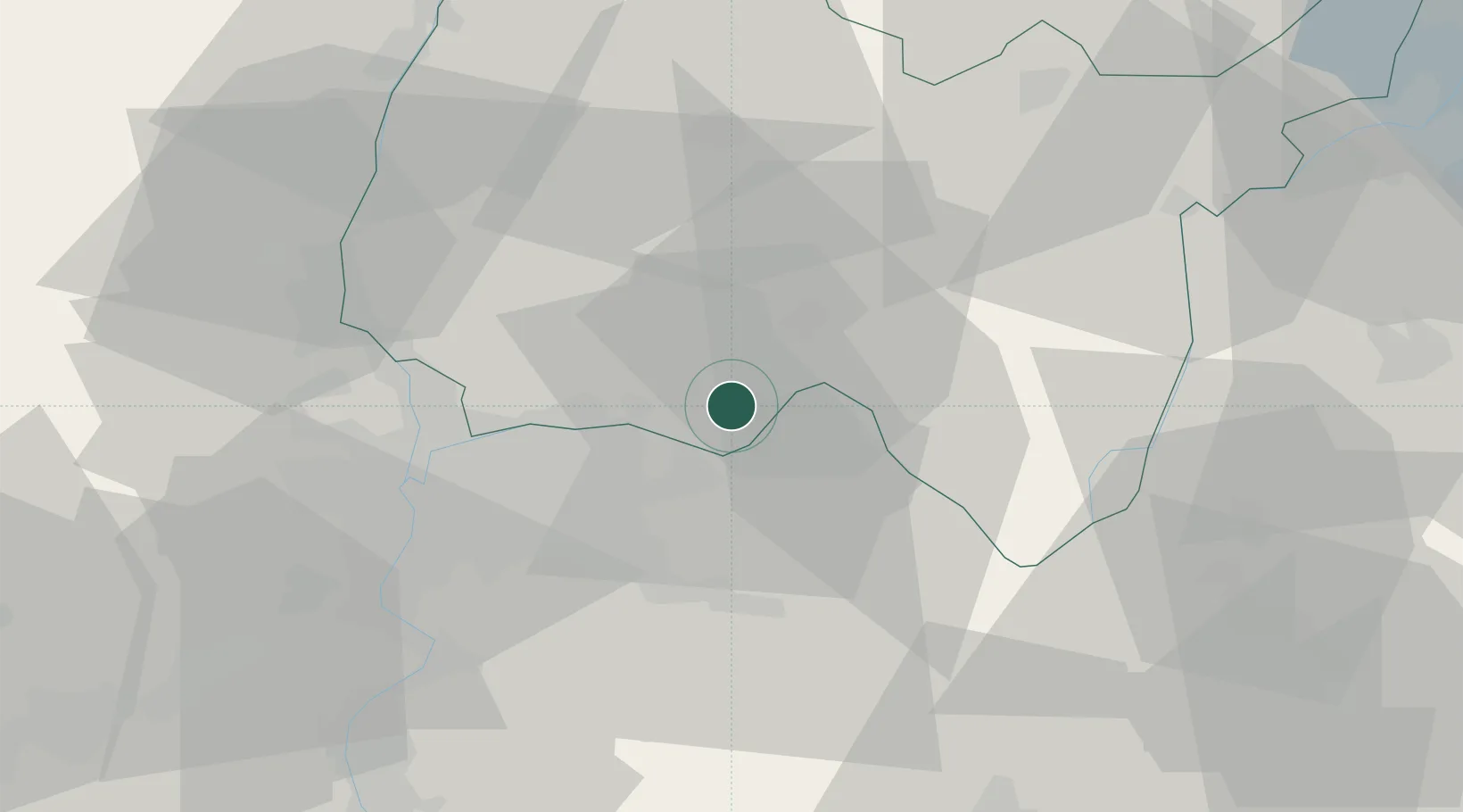
Place type
Populated place
Region
Rhône-Alpes
Population
767
Time zone
Europe/Paris
Elevation
209 m
Location
Nearby Logistics Neighbours
Cities
- 1Hières-sur-Amby6 km
- 2La Valbonne9 km
- 3Saint-Sorlin-en-Bugey10 km
- 4Villette-d'Anthon12 km
- 5Bressolles12 km
Ports
- 1Fos272 km
- 2Port-de-Bouc273 km
- 3Port Saint Louis Du Rhone276 km
- 4Marseille282 km
- 5Nice288 km
Airports
Trade Zones
- 1ZFU Vaulx-en-Velin27 km
- 2ZFU Rillieux-la-Pape30 km
- 3ZFU Vénissieux35 km
- 4ZFU Lyon 9e35 km
- 5Port Franc de Geneve75 km
DatabookThe Record of Consolidated Knowledge
France beyond logistics?