UN/LOCODE hub · France
FRS2B

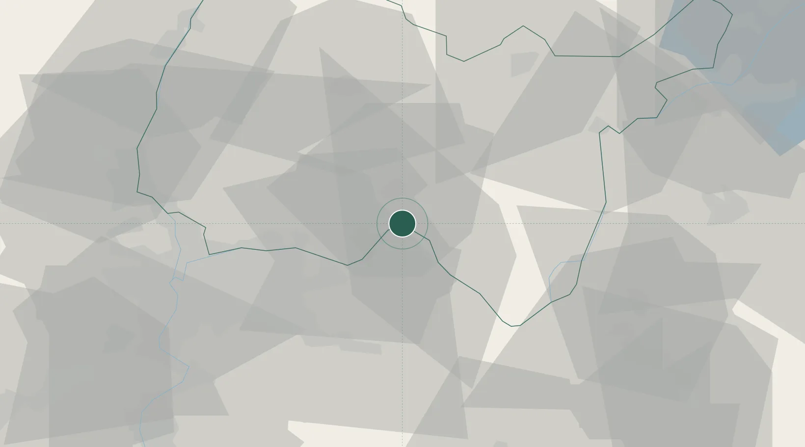
Saint-Sorlin-en-Bugey

45.8833°, 5.3667°
1,067
Population
1
Transport functions

Transport Functions

Multimodal
UN/LOCODE

Hub Profile

Place type
Populated place
GeoNames
Region
Rhône-Alpes
GeoNames
Population
1,067
GeoNames
Time zone
Europe/Paris
GeoNames
Elevation
199 m
GeoNames

Location

Location of FRS2B
Natural Earth 10m (public domain) · Rhône-Alpes · FRS2B · 45.88, 5.37GoogleOSMYandex

Nearby Logistics Neighbours

Cities
  1. 1Torcieu5 km
  2. 2Vaux-en-Bugey6 km
  3. 3Porcieu-Amblagnieu6 km
  4. 4Villebois6 km
  5. 5Saint-Denis-en-Bugey8 km
Nearest neighbours — logibook spatial index (haversine) over the source coordinates
Ports
  1. 1Fos277 km
  2. 2Port-de-Bouc278 km
  3. 3Port Saint Louis Du Rhone281 km
  4. 4Marseille285 km
  5. 5Nice286 km
Nearest neighbours — logibook spatial index (haversine) over the source coordinates
Airports
  1. 1Ambérieu Air Base (BA 278)12 km
  2. 2Lyon Saint-Exupéry Airport28 km
  3. 3Lyon Bron Airport37 km
  4. 4Chambéry Aix les Bains airport48 km
  5. 5Annecy Meythet airport57 km
Nearest neighbours — logibook spatial index (haversine) over the source coordinates
Trade Zones
  1. 1ZFU Vaulx-en-Velin36 km
  2. 2ZFU Rillieux-la-Pape40 km
  3. 3ZFU Vénissieux45 km
  4. 4ZFU Lyon 9e45 km
  5. 5Port Franc de Geneve65 km
Nearest neighbours — logibook spatial index (haversine) over the source coordinates
DatabookThe Record of Consolidated Knowledge
France beyond logistics?
Browse databook

All Sources

LocationsUN/LOCODE
UN/LOCODE — free
LocationsGeoNames
CC BY 4.0
Portsthe NGA World Port Index
Public domain (US gov)
AirportsOurAirports
Public domain
Trade Zonesthe World Bank SEZ database
CC BY 4.0
Trade ZonesOpen Zone Map
CC BY
← France locations