Transport Functions
Multimodal
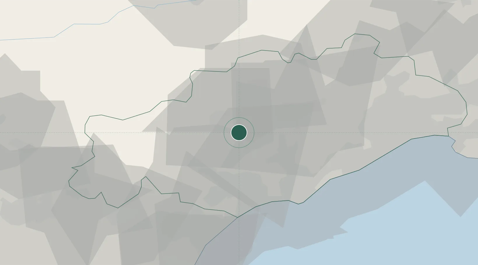
Hub Profile
Place type
Populated place
Region
Occitanie
Population
84
Time zone
Europe/Paris
Elevation
273 m
Location
Nearby Logistics Neighbours
Cities
- 1Roquessels3 km
- 2Faugères5 km
- 3Mérifons6 km
- 4Roujan7 km
- 5Laurens7 km
Ports
- 1Sete41 km
- 2Port-La-Nouvelle63 km
- 3Port-Vendres117 km
- 4Port Saint Louis Du Rhone128 km
- 5Fos133 km
Airports
Trade Zones
- 1ZFU Béziers26 km
- 2ZFU Montpellier48 km
- 3ZFU Nîmes93 km
- 4ZFU Perpignan101 km
- 5ZFU Avignon132 km
DatabookThe Record of Consolidated Knowledge
France beyond logistics?