Transport Functions
Port
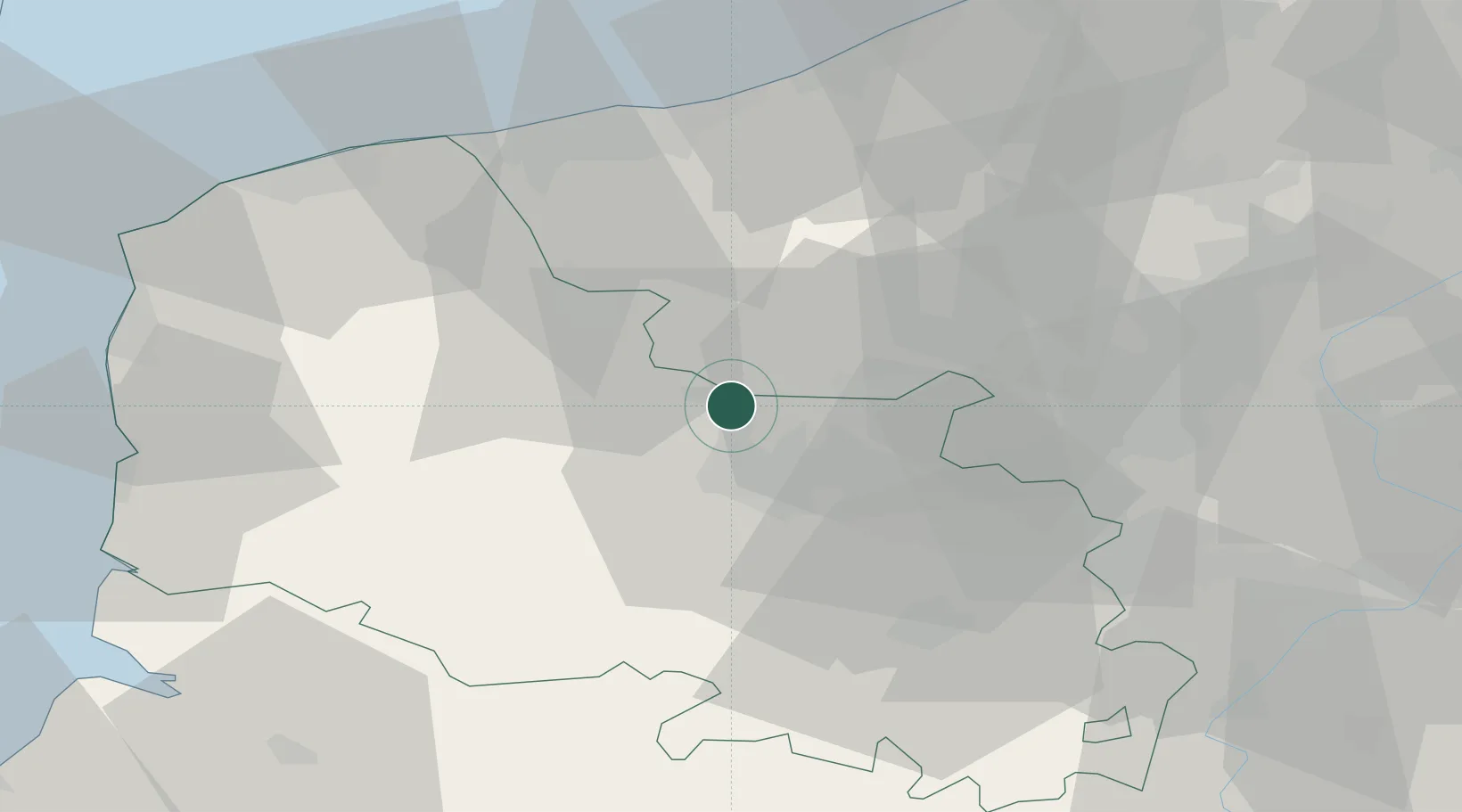
Hub Profile
Place type
Populated place
Region
Hauts-de-France
Population
1,299
Time zone
Europe/Paris
Elevation
20 m
Location
Nearby Logistics Neighbours
Ports
- 1Gravelines50 km
- 2Dunkerque Port Est51 km
- 3Calais59 km
- 4Nieuwpoort60 km
- 5Boulogne-Sur-Mer64 km
Airports
DatabookThe Record of Consolidated Knowledge
France beyond logistics?