Transport Functions
Multimodal
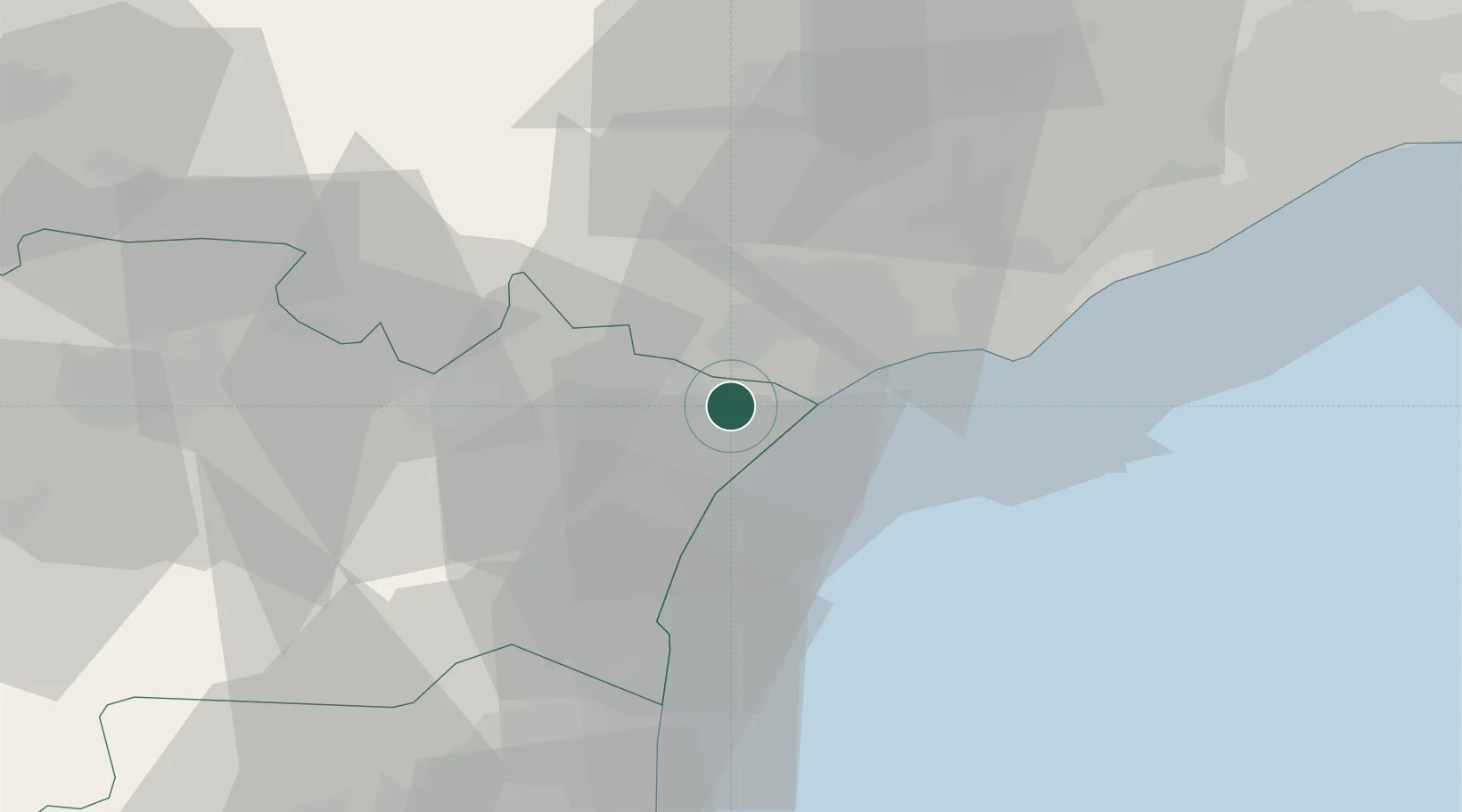
Hub Profile
Place type
Populated place
Region
Occitanie
Population
2,713
Time zone
Europe/Paris
Elevation
27 m
Location
Nearby Logistics Neighbours
Cities
- 1Salles-d'Aude2 km
- 2Armissan6 km
- 3Coursan6 km
- 4Lespignan6 km
- 5Nissan-lez-Enserune7 km
Ports
- 1Port-La-Nouvelle23 km
- 2Sete50 km
- 3Port-Vendres78 km
- 4Rosas106 km
- 5Port Saint Louis Du Rhone138 km
Airports
Trade Zones
- 1ZFU Béziers15 km
- 2ZFU Perpignan61 km
- 3ZFU Montpellier72 km
- 4ZFU Nîmes119 km
- 5ZFU Toulouse143 km
DatabookThe Record of Consolidated Knowledge
France beyond logistics?