Transport Functions
Multimodal
Hub Profile
Place type
Populated place
Region
Nouvelle-Aquitaine
Population
3,079
Time zone
Europe/Paris
Elevation
57 m
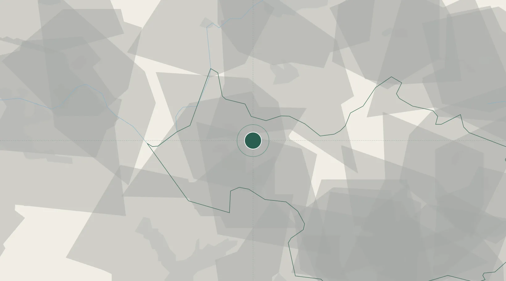
Location
Nearby Logistics Neighbours
Cities
- 1Drumettaz-Clarafond7 km
- 2Aix-les-Bains7 km
- 3Grésy-sur-Aix8 km
- 4Chambéry13 km
- 5Challes-les-Eaux13 km
Ports
- 1Nice241 km
- 2Villefranche242 km
- 3Monaco242 km
- 4Savona247 km
- 5Rada Di Vado248 km
Airports
Trade Zones
DatabookThe Record of Consolidated Knowledge
France beyond logistics?