Transport Functions
Rail
Airport
Postal
Hub Profile
Place type
Provincial seat
Region
Rhône-Alpes
Population
61,640
Time zone
Europe/Paris
Elevation
279 m
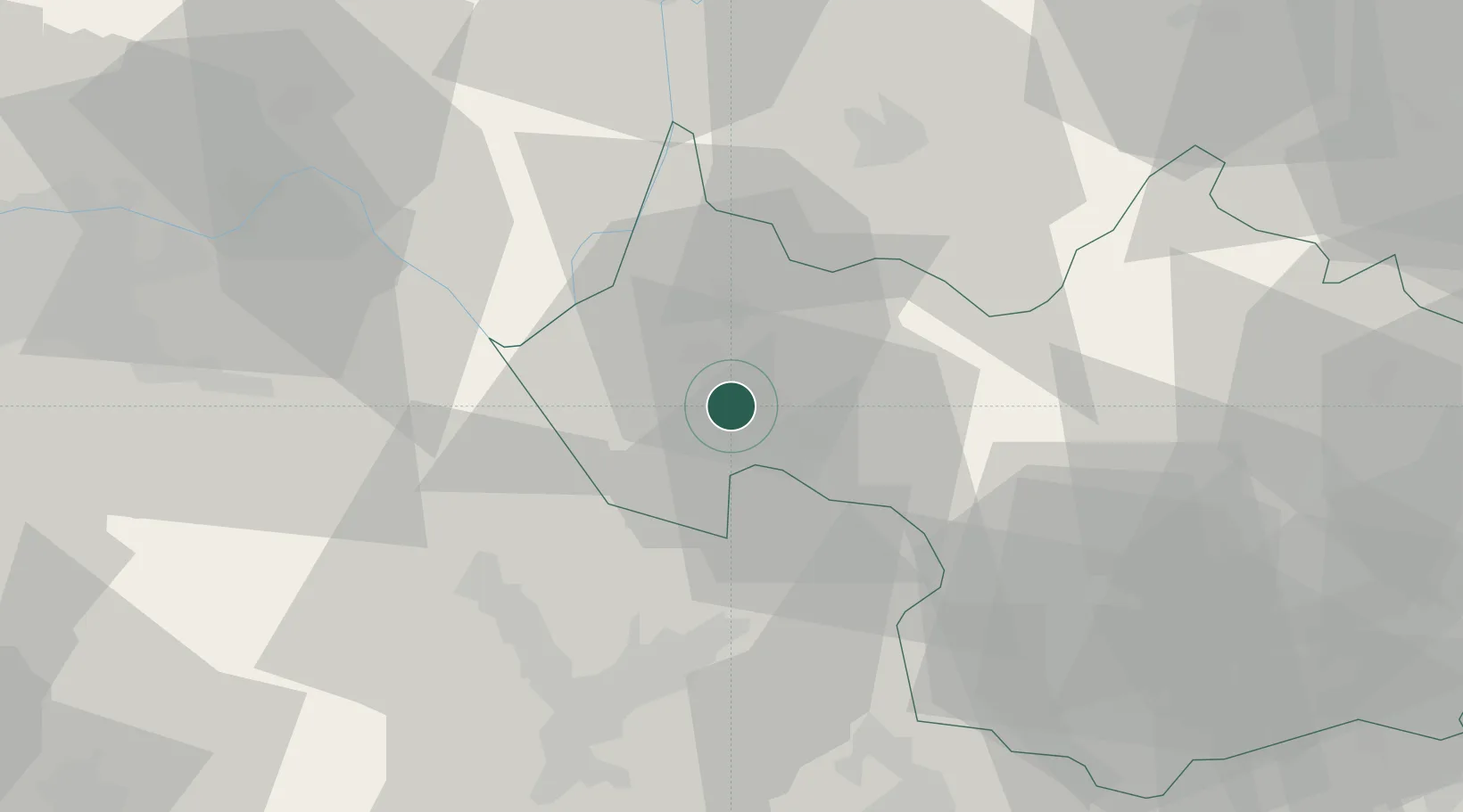
Location
Nearby Logistics Neighbours
Cities
- 1Jacob-Bellecombette2 km
- 2Saint-Baldoph5 km
- 3Challes-les-Eaux6 km
- 4Myans8 km
- 5Apremont8 km
Ports
- 1Nice234 km
- 2Villefranche235 km
- 3Monaco236 km
- 4Cannes241 km
- 5Antibes241 km
Airports
Trade Zones
DatabookThe Record of Consolidated Knowledge
France beyond logistics?