Transport Functions
Road
Multimodal
Hub Profile
Region
73
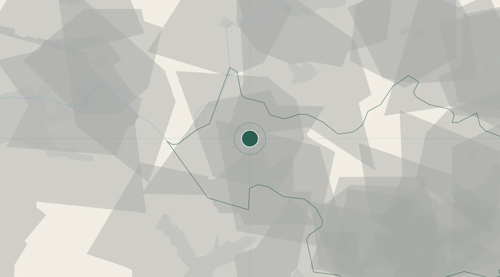
Location
Nearby Logistics Neighbours
Cities
- 1Aix-les-Bains2 km
- 2Grésy-sur-Aix6 km
- 3Fléac7 km
- 4Chambéry11 km
- 5Jongieux12 km
Ports
- 1Nice244 km
- 2Villefranche245 km
- 3Monaco246 km
- 4Antibes251 km
- 5Cannes251 km
Airports
Trade Zones
DatabookThe Record of Consolidated Knowledge
France beyond logistics?