Transport Functions
Rail
Road
Hub Profile
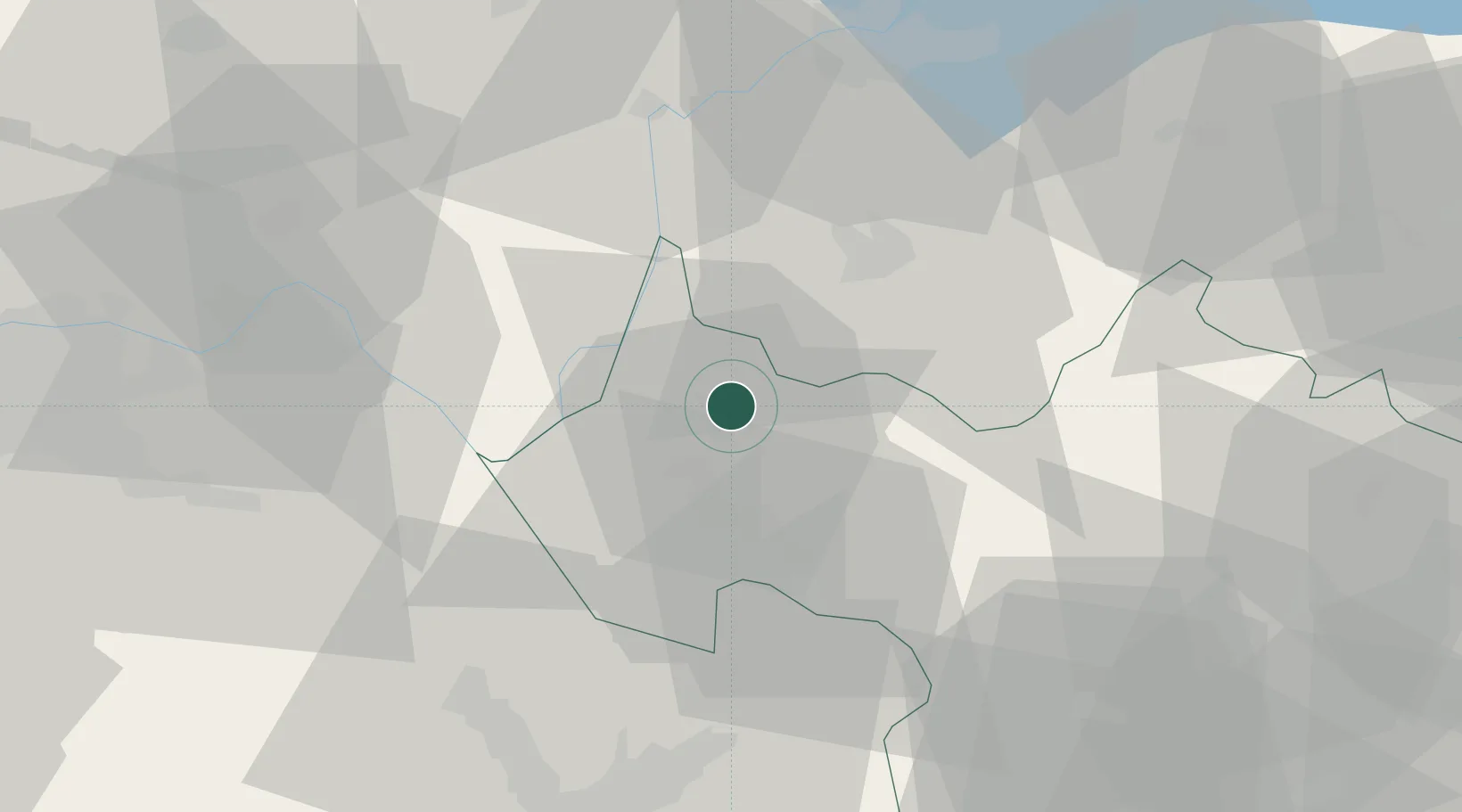
Place type
Populated place
Region
Rhône-Alpes
Population
3,380
Time zone
Europe/Paris
Elevation
295 m
Location
Nearby Logistics Neighbours
Cities
- 1Aix-les-Bains4 km
- 2Drumettaz-Clarafond6 km
- 3Fléac8 km
- 4Jongieux11 km
- 5Lucey12 km
Ports
- 1Nice248 km
- 2Villefranche250 km
- 3Monaco250 km
- 4Antibes256 km
- 5Cannes256 km
Airports
Trade Zones
DatabookThe Record of Consolidated Knowledge
France beyond logistics?