Transport Functions
Multimodal
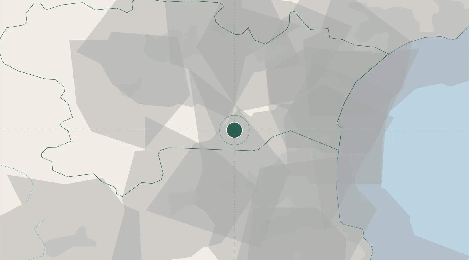
Hub Profile
Place type
Populated place
Region
Occitanie
Population
55
Time zone
Europe/Paris
Elevation
428 m
Location
Nearby Logistics Neighbours
Cities
- 1Dernacueillette3 km
- 2Padern6 km
- 3Cucugnan8 km
- 4Paziols10 km
- 5Maury11 km
Ports
- 1Port-La-Nouvelle37 km
- 2Port-Vendres60 km
- 3Rosas85 km
- 4Sete102 km
- 5Palamos127 km
Airports
Trade Zones
- 1ZFU Perpignan32 km
- 2ZFU Béziers66 km
- 3ZFU Toulouse123 km
- 4ZFU Montpellier125 km
- 5ZFU Nîmes171 km
DatabookThe Record of Consolidated Knowledge
France beyond logistics?