UN/LOCODE hub · France
FRJLB
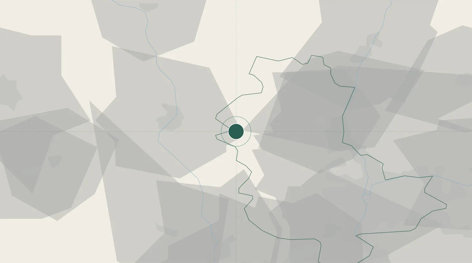
Saint-Jean-la-Bussière
46.0000°, 4.3333°
910
Population
2
Transport functions
Transport Functions
Road
Multimodal
Hub Profile
Place type
Populated place
Region
Rhône-Alpes
Population
910
Time zone
Europe/Paris
Elevation
520 m
Location
Nearby Logistics Neighbours
Cities
- 1Saint-Victor-sur-Rhins4 km
- 2Valsonne10 km
- 3Sevelinges10 km
- 4Létra16 km
- 5Neulise16 km
Ports
- 1Fos291 km
- 2Sete293 km
- 3Port Saint Louis Du Rhone294 km
- 4Port-de-Bouc294 km
- 5Marseille309 km
Airports
- 1Roanne-Renaison Airport27 km
- 2Mâcon-Charnay Airfield48 km
- 3Saint-Étienne-Bouthéon Airport51 km
- 4Saint-Yan Airport52 km
- 5Lyon Bron Airport56 km
Trade Zones
- 1ZFU Lyon 9e44 km
- 2ZFU Rillieux-la-Pape45 km
- 3ZFU Vaulx-en-Velin52 km
- 4ZFU Vénissieux52 km
- 5ZFU Saint-Etienne64 km
DatabookThe Record of Consolidated Knowledge
France beyond logistics?