Transport Functions
Multimodal
Hub Profile
Place type
Populated place
Region
Occitanie
Population
544
Time zone
Europe/Paris
Elevation
77 m
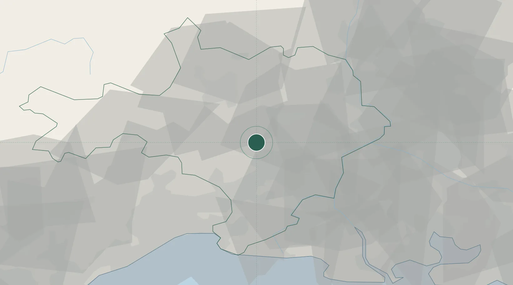
Location
Nearby Logistics Neighbours
Cities
- 1Saint-Chaptes4 km
- 2Gajan7 km
- 3Collorgues7 km
- 4Boucoiran-et-Nozières10 km
- 5Saint-Césaire11 km
Ports
- 1Port Saint Louis Du Rhone75 km
- 2Fos75 km
- 3Sete76 km
- 4Port-de-Bouc82 km
- 5Marseille111 km
Airports
Trade Zones
- 1ZFU Nîmes13 km
- 2ZFU Avignon42 km
- 3ZFU Montpellier51 km
- 4ZFU Saint-Barthélémy, Le Canet, Delorme-Paternelle106 km
- 5ZFU Béziers109 km
DatabookThe Record of Consolidated Knowledge
France beyond logistics?