Transport Functions
Rail
Road
Hub Profile
Place type
Populated place
Region
Occitanie
Time zone
Europe/Paris
Elevation
44 m
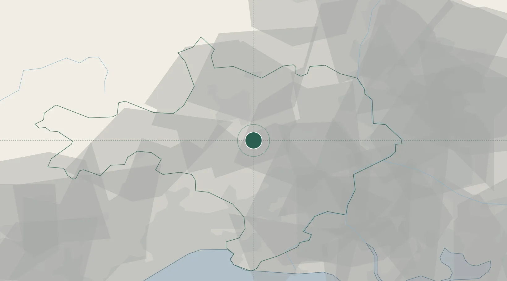
Location
Nearby Logistics Neighbours
Cities
- 1Martignargues3 km
- 2Boucoiran-et-Nozières5 km
- 3Collorgues6 km
- 4Baron7 km
- 5Vézénobres7 km
Ports
- 1Sete80 km
- 2Port Saint Louis Du Rhone85 km
- 3Fos86 km
- 4Port-de-Bouc92 km
- 5Marseille121 km
Airports
Trade Zones
- 1ZFU Nîmes24 km
- 2ZFU Avignon48 km
- 3ZFU Montpellier55 km
- 4ZFU Béziers111 km
- 5ZFU Valence113 km
DatabookThe Record of Consolidated Knowledge
France beyond logistics?