Transport Functions
Multimodal
Hub Profile
Place type
Populated place
Region
Occitanie
Population
684
Time zone
Europe/Paris
Elevation
105 m
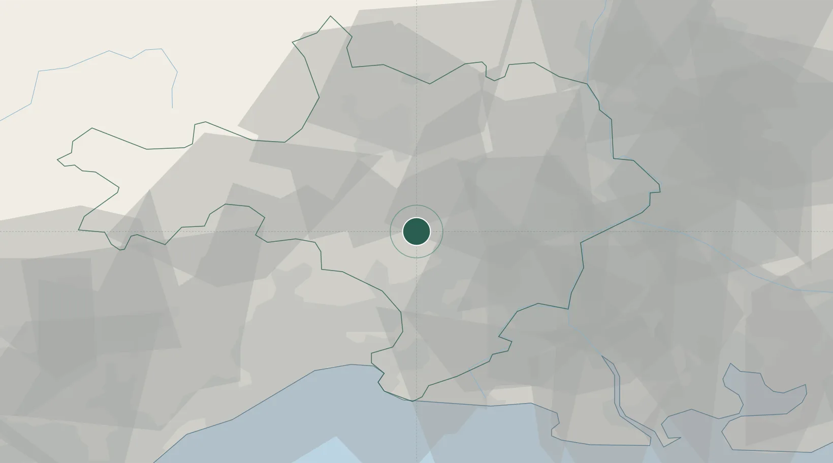
Location
Nearby Logistics Neighbours
Cities
- 1Dions7 km
- 2Saint-Chaptes9 km
- 3Crespian10 km
- 4Boucoiran-et-Nozières10 km
- 5Aigremont11 km
Ports
- 1Sete69 km
- 2Port Saint Louis Du Rhone75 km
- 3Fos76 km
- 4Port-de-Bouc83 km
- 5Marseille113 km
Airports
Trade Zones
- 1ZFU Nîmes13 km
- 2ZFU Montpellier44 km
- 3ZFU Avignon47 km
- 4ZFU Béziers102 km
- 5ZFU Saint-Barthélémy, Le Canet, Delorme-Paternelle107 km
DatabookThe Record of Consolidated Knowledge
France beyond logistics?