Transport Functions
Rail
Road
Hub Profile
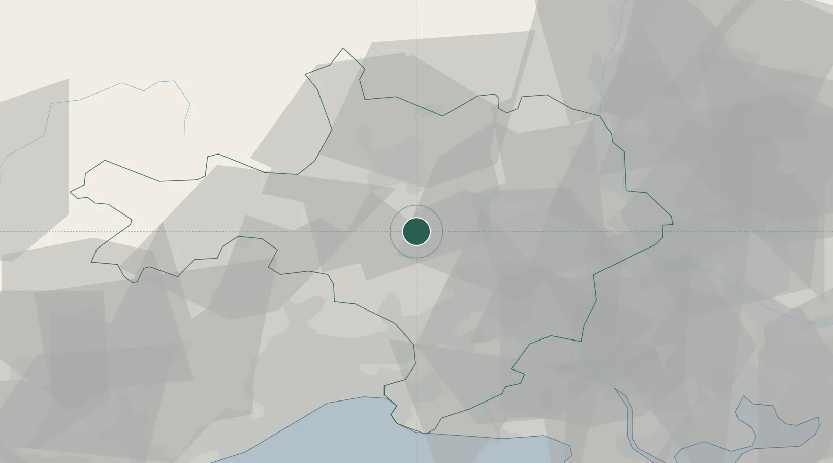
Region
30
Location
Nearby Logistics Neighbours
Cities
- 1Saint-Césaire5 km
- 2Martignargues6 km
- 3Aigremont6 km
- 4Vézénobres8 km
- 5Collorgues8 km
Ports
- 1Sete76 km
- 2Port Saint Louis Du Rhone84 km
- 3Fos85 km
- 4Port-de-Bouc91 km
- 5Marseille121 km
Airports
Trade Zones
- 1ZFU Nîmes22 km
- 2ZFU Avignon50 km
- 3ZFU Montpellier50 km
- 4ZFU Béziers106 km
- 5ZFU Saint-Barthélémy, Le Canet, Delorme-Paternelle116 km
DatabookThe Record of Consolidated Knowledge
France beyond logistics?