Transport Functions
Port
Multimodal
Hub Profile
Place type
Populated place
Region
Occitanie
Population
389
Time zone
Europe/Paris
Elevation
159 m
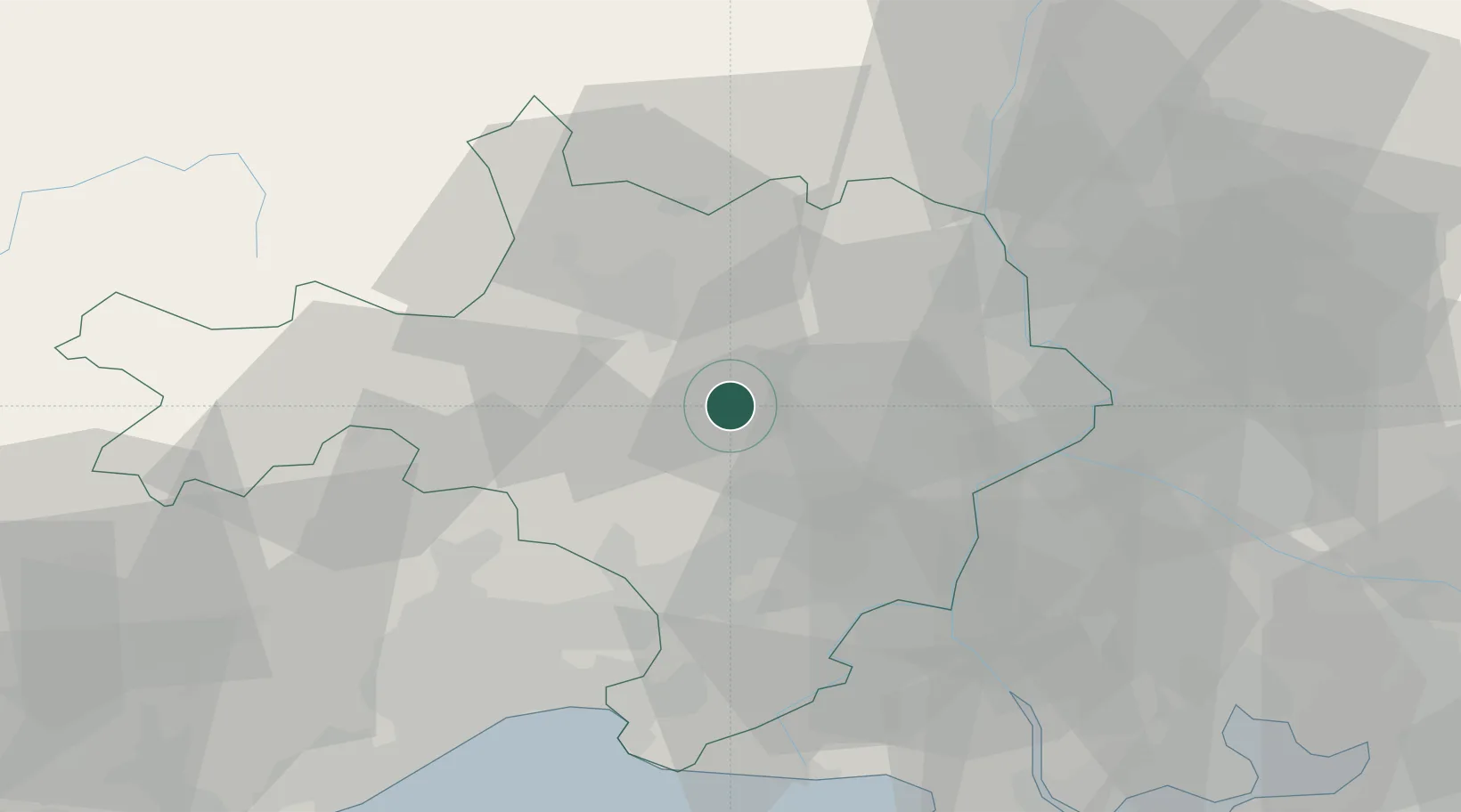
Location
Nearby Logistics Neighbours
Cities
- 1Saint-Chaptes4 km
- 2Baron6 km
- 3Saint-Césaire6 km
- 4Serviers-et-Labaume7 km
- 5Dions7 km
Ports
- 1Fos81 km
- 2Port Saint Louis Du Rhone81 km
- 3Sete82 km
- 4Port-de-Bouc87 km
- 5Marseille116 km
Airports
Trade Zones
- 1ZFU Nîmes20 km
- 2ZFU Avignon42 km
- 3ZFU Montpellier56 km
- 4ZFU Saint-Barthélémy, Le Canet, Delorme-Paternelle111 km
- 5ZFU Valence112 km
DatabookThe Record of Consolidated Knowledge
France beyond logistics?