UN/LOCODE hub · France
FRDGN

Digne

44.1000°, 6.2333°
2
Transport functions

Transport Functions

Rail
Road
UN/LOCODE

Hub Profile

Region
04
GeoNames

Location

Location of FRDGN
Natural Earth 10m (public domain) · 04 · FRDGN · 44.10, 6.23GoogleOSMYandex

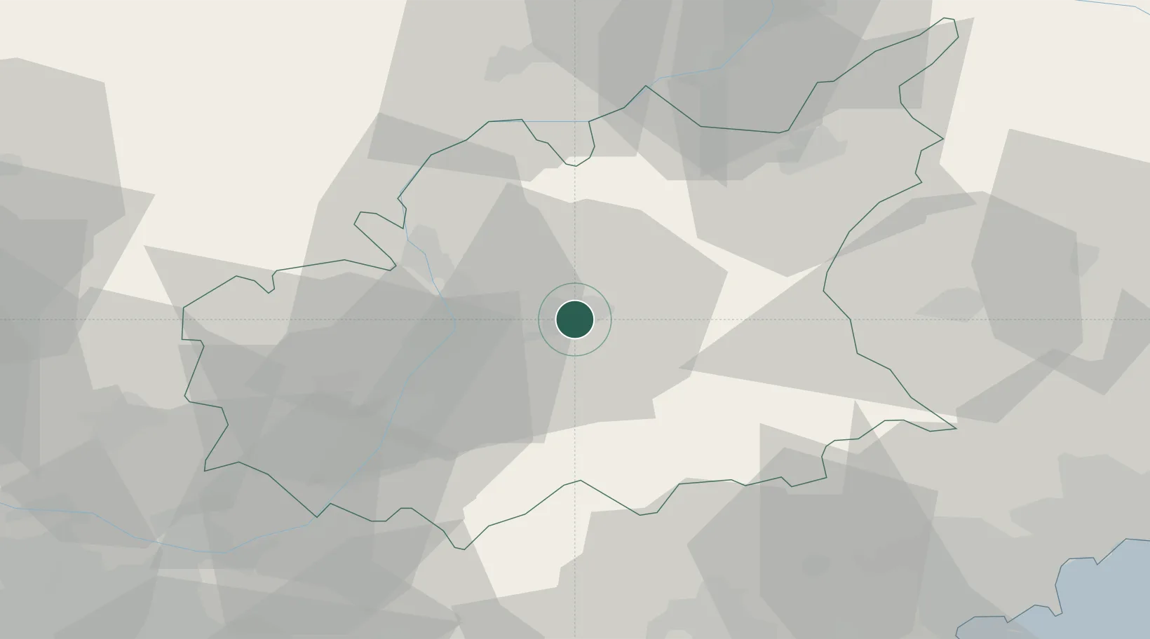
Nearby Logistics Neighbours

Cities
  1. 1Château-Arnoux19 km
  2. 2Saint-Auban20 km
  3. 3Villeneuve37 km
  4. 4Forcalquier39 km
  5. 5Gréoux-les-Bains47 km
Nearest neighbours — logibook spatial index (haversine) over the source coordinates
Ports
  1. 1Saint-Raphael87 km
  2. 2Cannes88 km
  3. 3Antibes92 km
  4. 4Nice95 km
  5. 5Villefranche98 km
Nearest neighbours — logibook spatial index (haversine) over the source coordinates
Airports
  1. 1Le Luc-Le Cannet Airfield81 km
  2. 2Cannes Mandelieu Airport84 km
  3. 3Cannes Croisette Heliport90 km
  4. 4Nice-Côte d'Azur Airport93 km
  5. 5Le Castellet Airport101 km
Nearest neighbours — logibook spatial index (haversine) over the source coordinates
Trade Zones
  1. 1ZFU LAriane93 km
  2. 2ZFU Marseille 15e et 16e110 km
  3. 3ZFU Toulon111 km
  4. 4ZFU Avignon116 km
  5. 5ZFU La Seyne-sur-Mer117 km
Nearest neighbours — logibook spatial index (haversine) over the source coordinates
DatabookThe Record of Consolidated Knowledge
France beyond logistics?
Browse databook

All Sources

LocationsUN/LOCODE
UN/LOCODE — free
Portsthe NGA World Port Index
Public domain (US gov)
AirportsOurAirports
Public domain
Trade Zonesthe World Bank SEZ database
CC BY 4.0
Trade ZonesOpen Zone Map
CC BY
← France locations