Transport Functions
Rail
Road
Hub Profile
Place type
Populated place
Region
Provence-Alpes-Côte d'Azur
Time zone
Europe/Paris
Elevation
466 m
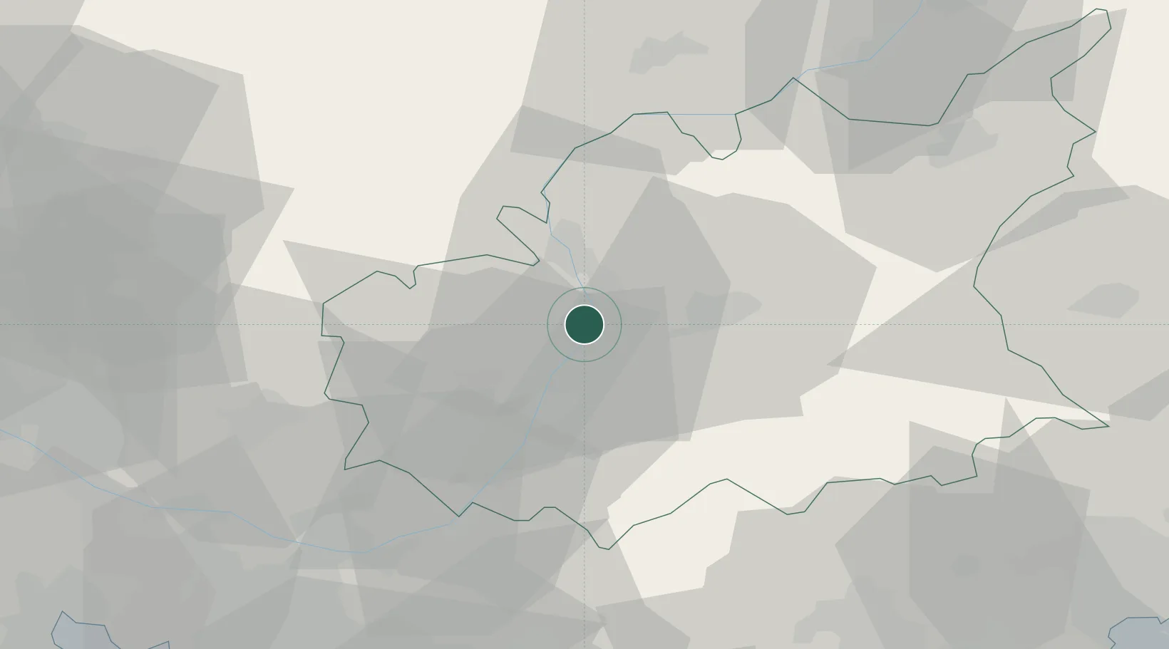
Location
Nearby Logistics Neighbours
Cities
- 1Château-Arnoux2 km
- 2Digne20 km
- 3Forcalquier21 km
- 4Villeneuve22 km
- 5Simiane-la-Rotonde35 km
Ports
- 1Saint-Raphael97 km
- 2Marseille99 km
- 3Cannes102 km
- 4Saint-Tropez105 km
- 5Antibes108 km
Airports
Trade Zones
- 1ZFU Avignon96 km
- 2ZFU Marseille 15e et 16e97 km
- 3ZFU Toulon107 km
- 4ZFU Saint-Barthélémy, Le Canet, Delorme-Paternelle107 km
- 5ZFU LAriane111 km
DatabookThe Record of Consolidated Knowledge
France beyond logistics?