Transport Functions
Rail
Hub Profile
Region
04
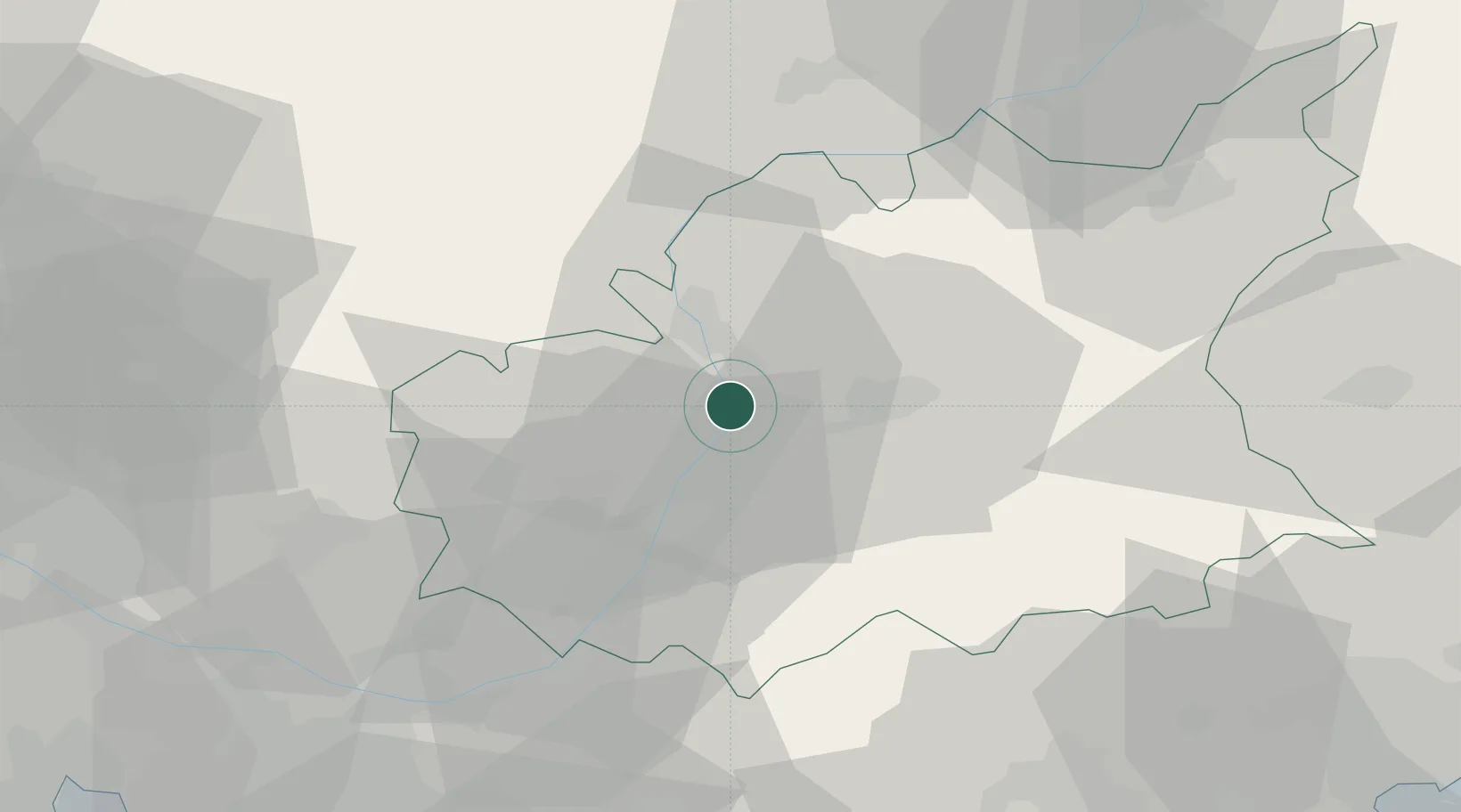
Location
Nearby Logistics Neighbours
Cities
- 1Saint-Auban2 km
- 2Digne19 km
- 3Forcalquier23 km
- 4Villeneuve25 km
- 5Simiane-la-Rotonde37 km
Ports
- 1Saint-Raphael98 km
- 2Marseille101 km
- 3Cannes102 km
- 4Saint-Tropez106 km
- 5Antibes108 km
Airports
Trade Zones
- 1ZFU Avignon97 km
- 2ZFU Marseille 15e et 16e100 km
- 3ZFU Toulon109 km
- 4ZFU Saint-Barthélémy, Le Canet, Delorme-Paternelle110 km
- 5ZFU LAriane110 km
DatabookThe Record of Consolidated Knowledge
France beyond logistics?